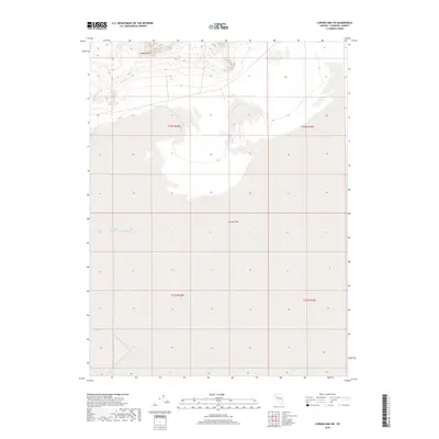
2018 Map of Carson Sink SW
USGS Topo · Published 2018About this map
Carson Sink dominates this interior basin within Churchill County, where the desert landscape is defined by vast ephemeral water systems and sparse topographical relief. In the northern reaches, the Mopung Hills rise above the flat saline floor, providing a stark vertical contrast to the surrounding terrain. This particular area serves as the terminus for the Humboldt River, visible through the presence of Humboldt Slough, a feature that marks the complex hydrology of Nevada’s Great Basin. The grid of the Public Land Survey System, including t23n r29e, provides the primary human organization over an otherwise unpopulated expanse of wetlands and alkaline flats, reflecting the region's character as a sink for western river systems.
Find a feature on this map
7 named features on this map. Tap any name to fly to it.
Don’t see what you’re looking for? This feature index may not catch every label — zoom into the map to look around manually.
Map Details
Editions of this 2018 Carson Sink SW Map
This is the sole edition of this map. No revisions or reprints were ever made.
Other maps of this area

1908 · Carson Sink
USGS Topo · 1:250,000

1910 · Carson Sink
USGS Topo · 1:250,000

1950 · Stillwater
USGS Topo · 1:62,500

1951 · Soda Lake
USGS Topo · 1:62,500

1951 · Carson Sink
USGS Topo · 1:62,500

1951 · Desert Peak
USGS Topo · 1:62,500

1957 · Reno
USGS Topo · 1:250,000

1959 · Reno
USGS Topo · 1:250,000

1960 · Reno
USGS Topo · 1:250,000

1979 · Carson Sink
USGS Topo · 1:100,000