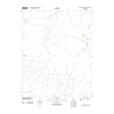
2010 Map of Carson Trading Post
USGS Topo · Published 2010About this map
Huerfano Chapter House stands as a central community hub in this region of the Eastern Navajo Agency at the turn of the 21st century. The landscape is defined by a network of rural roads and tribal infrastructure, including the Huerfano Reservation Dormitory and the namesake Carson Trading Post located in the northeastern sector. These points of interest reflect the ongoing importance of traditional trading and administrative centers within the reservation's social fabric.
Find a feature on this map
20 named features on this map. Tap any name to fly to it.
Don’t see what you’re looking for? This feature index may not catch every label — zoom into the map to look around manually.
Map Details
Editions of this 2010 Carson Trading Post Map
This is the sole edition of this map. No revisions or reprints were ever made.
Other maps of this area

1889 · Largo
USGS Topo · 1:250,000

1889 · Chaco
USGS Topo · 1:250,000

1892 · Chaco
USGS Topo · 1:250,000

1895 · Largo
USGS Topo · 1:250,000

1954 · Shiprock
USGS Topo · 1:250,000

1954 · Aztec
USGS Topo · 1:250,000

1958 · Shiprock
USGS Topo · 1:250,000

1958 · Aztec
USGS Topo · 1:250,000

1959 · Shiprock
USGS Topo · 1:250,000

1960 · Bloomfield
USGS Topo · 1:62,500