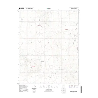
2013 Map of Carson Trading Post
USGS Topo · Published 2013About this map
The Carson Trading Post and the Huerfano Chapter House serve as central community hubs in this high-desert landscape of San Juan County. This 2013 survey illustrates the sparse but vital infrastructure of the Eastern Navajo Agency, where life is organized around the intersection of Indian Service Route 44 and Indian Service Route 5. The Huerfano Reservation Dormitory stands near these junctions, reflecting the institutional history of the region.
Find a feature on this map
26 named features on this map. Tap any name to fly to it.
Don’t see what you’re looking for? This feature index may not catch every label — zoom into the map to look around manually.
Map Details
Editions of this 2013 Carson Trading Post Map
This is the sole edition of this map. No revisions or reprints were ever made.
Other maps of this area

1889 · Largo
USGS Topo · 1:250,000

1889 · Chaco
USGS Topo · 1:250,000

1892 · Chaco
USGS Topo · 1:250,000

1895 · Largo
USGS Topo · 1:250,000

1954 · Shiprock
USGS Topo · 1:250,000

1954 · Aztec
USGS Topo · 1:250,000

1958 · Shiprock
USGS Topo · 1:250,000

1958 · Aztec
USGS Topo · 1:250,000

1959 · Shiprock
USGS Topo · 1:250,000

1960 · Bloomfield
USGS Topo · 1:62,500