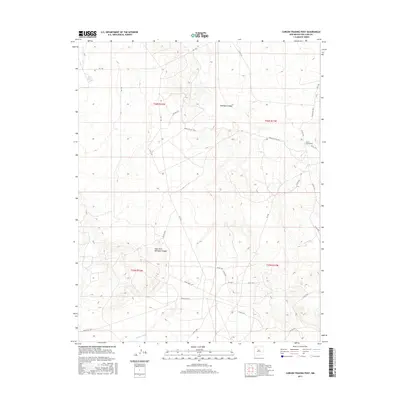
2017 Map of Carson Trading Post
USGS Topo · Published 2017About this map
Gallegos Canyon defines the drainage patterns of this high-desert landscape in the Eastern Navajo Agency during the early twenty-first century. The map centers on the Carson Trading Post, a site of historic commercial importance in San Juan County, positioned at the junction of several rural county and service roads. These desert routes, including Indian Svc Rte 7024 and Indian Svc Rte 5, weave between the canyon systems and the broad plains of West Fork Gallegos Canyon. Toward the southern boundary, Hunter Wash cuts through the terrain, highlighting the sparse but vital water networks that have long dictated the placement of outposts and transportation corridors in this region. This survey captures the relationship between modern Bureau of Indian Affairs service routes and the enduring land divisions of the Public Land Survey System.
Find a feature on this map
28 named features on this map. Tap any name to fly to it.
Don’t see what you’re looking for? This feature index may not catch every label — zoom into the map to look around manually.
Map Details
Editions of this 2017 Carson Trading Post Map
This is the sole edition of this map. No revisions or reprints were ever made.
Other maps of this area

1889 · Largo
USGS Topo · 1:250,000

1889 · Chaco
USGS Topo · 1:250,000

1892 · Chaco
USGS Topo · 1:250,000

1895 · Largo
USGS Topo · 1:250,000

1954 · Shiprock
USGS Topo · 1:250,000

1954 · Aztec
USGS Topo · 1:250,000

1958 · Shiprock
USGS Topo · 1:250,000

1958 · Aztec
USGS Topo · 1:250,000

1959 · Shiprock
USGS Topo · 1:250,000

1960 · Bloomfield
USGS Topo · 1:62,500