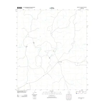
2012 Map of Carta Valley
USGS Topo · Published 2012About this map
Carta Valley serves as the central point of interest in this Edwards County survey, situated amidst a landscape defined by seasonal watercourses and local ranching history. The settlement is anchored by the Carta Valley Cem, a key landmark for genealogical research in this sparsely populated portion of the Texas Hill Country. The terrain is intricately etched by a network of ephemeral drainage systems, including Red Bluff Cr and Cow Cr, which characterize the hydrology of the Edwards Plateau. Named features like Wallace Well Draw, Kaufman Draw, and Riggs Draw suggest a long history of water management and land use tied to specific family names and ranching operations. The road network centers on the intersection within the valley, providing a clear view of the rural infrastructure at the start of the twenty-first century.
Find a feature on this map
7 named features on this map. Tap any name to fly to it.
Don’t see what you’re looking for? This feature index may not catch every label — zoom into the map to look around manually.
Map Details
Editions of this 2012 Carta Valley Map
This is the sole edition of this map. No revisions or reprints were ever made.
Other maps of this area

1943 · Carta Valley
USGS Topo · 1:62,500

1944 · Flat Rock
USGS Topo · 1:62,500

1944 · Dry Devil
USGS Topo · 1:62,500

1944 · Devils Lake
USGS Topo · 1:62,500

1958 · Del Rio
USGS Topo · 1:250,000

1964 · Del Rio
USGS Topo · 1:250,000
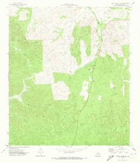
1971 · Carta Valley NE
USGS Topo · 1:24,000

1972 · Miers Ranch
USGS Topo · 1:24,000
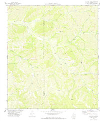
1978 · Holcomb Draw
USGS Topo · 1:24,000
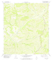
1978 · Open Hollow
USGS Topo · 1:24,000