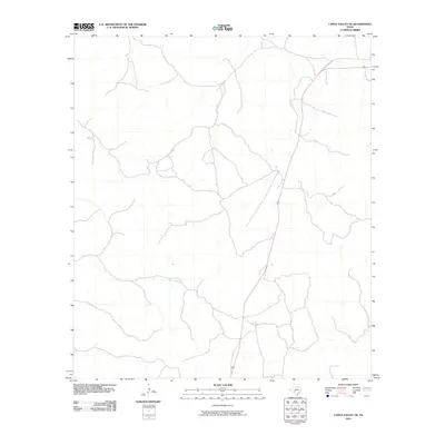
2010 Map of Carta Valley NE
USGS Topo · Published 2010About this map
Old US Hwy 377 cuts through the northeast corner of this arid landscape in Edwards County, representing a modern alignment of the historic path between Del Rio and Rocksprings. This 2010 survey illustrates a sparsely settled region of the Texas Hill Country defined by a complex network of intermittent drainages. The most prominent of these is Mailtrail Creek, which flows across the central-western portion of the map. The landscape is marked by numerous draws and dry washes that only carry water during heavy rain events, highlighting the topographic character of this high plateau country. The presence of the highway provides the primary structural link for the remote ranching properties that have historically occupied this region, showing how transportation infrastructure remains the defining feature of the area's development.
Find a feature on this map
2 named features on this map. Tap any name to fly to it.
Don’t see what you’re looking for? This feature index may not catch every label — zoom into the map to look around manually.
Map Details
Editions of this 2010 Carta Valley NE Map
This is the sole edition of this map. No revisions or reprints were ever made.
Other maps of this area

1893 · Rock Springs
USGS Topo · 1:125,000

1893 · Nueces
USGS Topo · 1:125,000

1896 · Nueces
USGS Topo · 1:125,000

1943 · Carta Valley
USGS Topo · 1:62,500

1944 · Indian Creek
USGS Topo · 1:62,500

1954 · Sonora
USGS Topo · 1:250,000

1958 · Sonora
USGS Topo · 1:250,000

1958 · Del Rio
USGS Topo · 1:250,000

1964 · Del Rio
USGS Topo · 1:250,000

1971 · Turney Draw SE
USGS Topo · 1:24,000