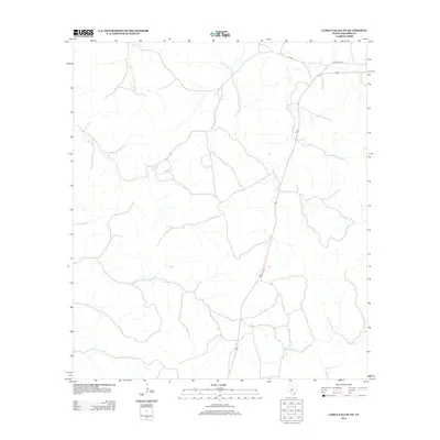
2012 Map of Carta Valley NE
USGS Topo · Published 2012About this map
Mailtrail Cr winds through this arid section of Edwards County, tracing a path through a landscape defined by deep draws and intermittent watercourses. In this high desert region of Southwest Texas, the map documents the modern infrastructure of Highway 377 and the alignment of Old US Hwy 377 in the northeast corner. The sparse settlement pattern is typical of the Edwards Plateau, where large ranching tracts are accessed by secondary routes like C R 104 E. This 2012 survey provides a clear look at the topography and transportation corridors of a remote borderlands area prior to more recent land use changes.
Find a feature on this map
4 named features on this map. Tap any name to fly to it.
Don’t see what you’re looking for? This feature index may not catch every label — zoom into the map to look around manually.
Map Details
Editions of this 2012 Carta Valley NE Map
This is the sole edition of this map. No revisions or reprints were ever made.
Other maps of this area

1893 · Rock Springs
USGS Topo · 1:125,000

1893 · Nueces
USGS Topo · 1:125,000

1896 · Nueces
USGS Topo · 1:125,000

1943 · Carta Valley
USGS Topo · 1:62,500

1944 · Indian Creek
USGS Topo · 1:62,500

1954 · Sonora
USGS Topo · 1:250,000

1958 · Sonora
USGS Topo · 1:250,000

1958 · Del Rio
USGS Topo · 1:250,000

1964 · Del Rio
USGS Topo · 1:250,000

1971 · Turney Draw SE
USGS Topo · 1:24,000