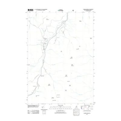
2012 Map of Carter Dome
USGS Topo · Published 2012About this map
Glen House and the surrounding high peaks of the White Mountains define this 2012 survey, which captures the recreation and mountain geography near Gorham. The landscape is dominated by a chain of summits including Carter Dome, Mount Moriah, and Wildcat Mountain, linked by the high-elevation Zeta Pass and Carter Notch. Significant recreational infrastructure is documented, from the Wildcat Mountain Ski Area in the south to the historic Dolly Copp Campground and Barnes Field Camping Area near the Peabody River. The map provides detailed locations for back-country waypoints such as the Carter Notch Hut and Imp Shelter, alongside the path of the Mount Washington Auto Rd and several unclassed forest roads. The drainage network is shown in detail, featuring the Moose River and numerous mountain brooks like Cowboy Brook and Nineteen Brook.
Find a feature on this map
53 named features on this map. Tap any name to fly to it.
Don’t see what you’re looking for? This feature index may not catch every label — zoom into the map to look around manually.
Map Details
Editions of this 2012 Carter Dome Map
This is the sole edition of this map. No revisions or reprints were ever made.
Other maps of this area

1893 · Mt. Washington
USGS Topo · 1:62,500

1893 · Gorham
USGS Topo · 1:62,500

1894 · North Conway
USGS Topo · 1:62,500

1895 · Crawford Notch
USGS Topo · 1:62,500

1896 · Mt. Washington
USGS Topo · 1:62,500

1896 · Crawford Notch
USGS Topo · 1:62,500

1896 · North Conway
USGS Topo · 1:62,500

1896 · Gorham
USGS Topo · 1:62,500

1935 · Mt. Washington
USGS Topo · 1:62,500

1937 · Gorham
USGS Topo · 1:48,000