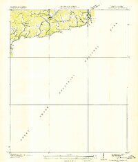
1936 Map of Cartertown
USGS Topo · Published 1936About this map
Great Smoky Mountains National Park dominates the southern landscape of this 1936 survey, which was compiled from aerial photographs by the Tennessee Valley Authority and the USGS. Along the northern edge of the park boundary, small mountain communities and farmsteads like Cartertown and Emerts Cove follow the narrow valleys carved by the Little Pigeon River and Hills Creek. The map provides a detailed view of local life in the mid-1930s, documenting family-centric locations such as the Mc Carter Cem, Proffitt Cem, and Tuder Cem.
Find a feature on this map
38 named features on this map. Tap any name to fly to it.
Don’t see what you’re looking for? This feature index may not catch every label — zoom into the map to look around manually.
Map Details
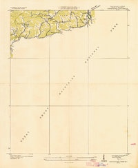
Editions of this 1936 Cartertown Map
2 editions found
Other maps of this area

1886 · Knoxville
USGS Topo · 1:125,000

1892 · Knoxville
USGS Topo · 1:125,000

1893 · Mt Guyot
USGS Topo · 1:125,000

1894 · Knoxville
USGS Topo · 1:125,000

1895 · Knoxville
USGS Topo · 1:125,000

1901 · Knoxville
USGS Topo · 1:125,000

1912 · Mt Guyot
USGS Topo · 1:125,000

1935 · English Mountain
USGS Topo · 1:48,000

1935 · Jones Cove
USGS Topo · 1:24,000

1935 · Richardson Cove
USGS Topo · 1:24,000