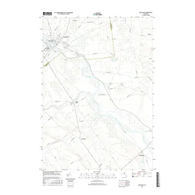
2016 Map of Carthage
USGS Topo · Published 2016About this map
The Black River serves as the central artery for this region of New York, carving a wide path through the landscape and separating the primary settlements of Carthage and West Carthage. In the northern part of the map, the river braids around Tannery Island and Wind Island, topographic features that hint at the industrial heritage of the village. The surrounding area is characterized by a high concentration of cemeteries, such as Fairview Cem and Saint James Cem, which offer significant value for genealogical researchers tracing family lineages in Jefferson and Lewis counties.
Find a feature on this map
72 named features on this map. Tap any name to fly to it.
Don’t see what you’re looking for? This feature index may not catch every label — zoom into the map to look around manually.
Map Details
Editions of this 2016 Carthage Map
This is the sole edition of this map. No revisions or reprints were ever made.
Other maps of this area

1902 · Carthage
USGS Topo · 1:62,500

1904 · Carthage
USGS Topo · 1:62,500

1911 · Antwerp
USGS Topo · 1:62,500

1911 · Lowville
USGS Topo · 1:62,500

1913 · Lowville
USGS Topo · 1:62,500

1913 · Lake Bonaparte
USGS Topo · 1:62,500

1916 · Lake Bonaparte
USGS Topo · 1:62,500

1942 · Copenhagen
USGS Topo · 1:24,000

1943 · Copenhagen
USGS Topo · 1:31,680
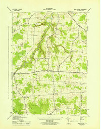
1943 · New Boston
USGS Topo · 1:31,680