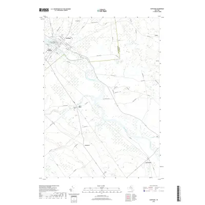
2019 Map of Carthage
USGS Topo · Published 2019About this map
The Black River serves as a central artery through this Jefferson and Lewis County landscape, dividing the sister villages of Carthage and West Carthage. The river's industrial legacy is hinted at by the presence of Tannery Island and Wind Island near the main village center, where a tight grid of streets like N Clinton St and S Mechanic St gives way to more expansive rural roads. Moving south and east, the terrain rises toward Mt Quillen and Mt Tom, while the river meanders through wetlands and flatlands toward Castorland.
Find a feature on this map
68 named features on this map. Tap any name to fly to it.
Don’t see what you’re looking for? This feature index may not catch every label — zoom into the map to look around manually.
Map Details
Editions of this 2019 Carthage Map
This is the sole edition of this map. No revisions or reprints were ever made.
Other maps of this area

1902 · Carthage
USGS Topo · 1:62,500

1904 · Carthage
USGS Topo · 1:62,500

1911 · Antwerp
USGS Topo · 1:62,500

1911 · Lowville
USGS Topo · 1:62,500

1913 · Lowville
USGS Topo · 1:62,500

1913 · Lake Bonaparte
USGS Topo · 1:62,500

1916 · Lake Bonaparte
USGS Topo · 1:62,500

1942 · Copenhagen
USGS Topo · 1:24,000

1943 · Copenhagen
USGS Topo · 1:31,680
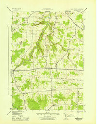
1943 · New Boston
USGS Topo · 1:31,680