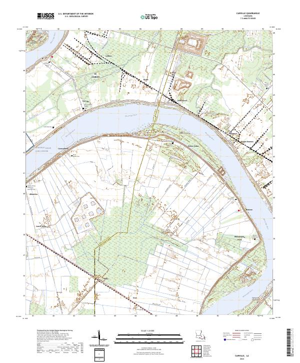
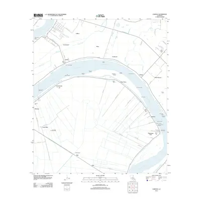
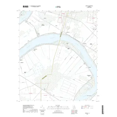
2024 Map of Carville
USGS Topo · Published 2024About this map
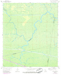
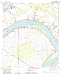
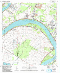
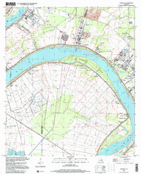
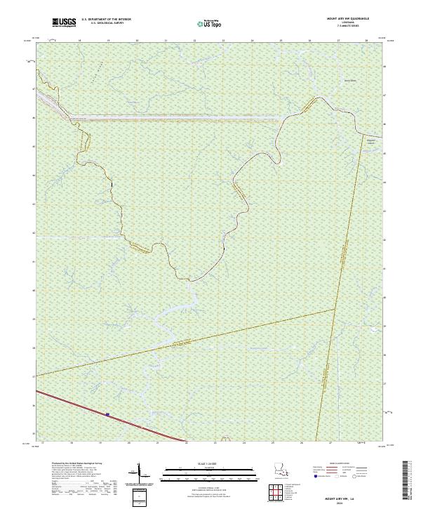
The Mississippi River carves a dramatic sweeping bend through this section of the Louisiana river parishes, defining the boundaries between Iberville and Ascension Parishes. This landscape is characterized by its historical reliance on the river and the complex drainage of surrounding bayous like Bayou Braud. Along the outer bank of the meander, the NG Carville Gillis Long Center stands as a prominent landmark near the community of Carville. The interior of the river bend is densely packed with agricultural plots and small settlements including Hohen Solms, Modeste, and Philadelphia Point.
Find a feature on this map
67 named features on this map. Tap any name to fly to it.
Don’t see what you’re looking for? This feature index may not catch every label — zoom into the map to look around manually.
Map Details
Editions of this 2024 Carville Map
This is the sole edition of this map. No revisions or reprints were ever made.
Historical Maps of Miles Through Time
17 maps found
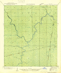
1946 Petite Amite River
Ascension Parish, LA
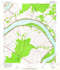
1953 Carville
Ascension Parish, LA
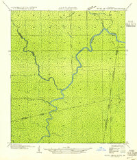
1954 Petite Amite River
Ascension Parish, LA
1962 Mount Airy NW
Ascension Parish, LA
1974 Carville
Ascension Parish, LA
1992 Carville
Ascension Parish, LA
1999 Carville
Ascension Parish, LA
2012 Carville
Ascension Parish, LA
2012 Mount Airy NW
Ascension Parish, LA
2015 Carville
Ascension Parish, LA
2015 Mount Airy NW
Ascension Parish, LA
2018 Carville
Ascension Parish, LA
2018 Mount Airy NW
Ascension Parish, LA
2020 Carville
Ascension Parish, LA
2020 Mount Airy NW
Ascension Parish, LA
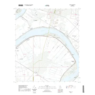
2024 Carville
Ascension Parish, LA
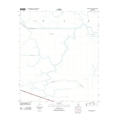
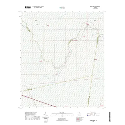
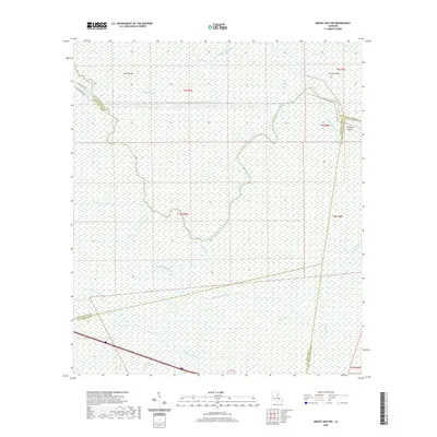
2024 Mount Airy NW
Ascension Parish, LA