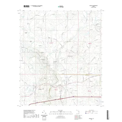
2021 Map of Caryville
USGS Topo · Published 2021About this map
Caryville and Westville sit at the center of this hydrographic network where the Choctawhatchee River and Yellow River converge. This complex system of wetlands and waterways is marked by numerous sloughs and ponds, including the winding Hickory Tree Flat Slough and Dead River. The landscape reflects a history of small riverside settlements and rural cemeteries, such as Harris Chapel Cem and Dyson Cem, which are scattered throughout the pine-forested terrain.
Find a feature on this map
136 named features on this map. Tap any name to fly to it.
Don’t see what you’re looking for? This feature index may not catch every label — zoom into the map to look around manually.
Map Details
Editions of this 2021 Caryville Map
This is the sole edition of this map. No revisions or reprints were ever made.
Other maps of this area

1948 · Ponce De Leon
USGS Topo · 1:24,000

1949 · Hinsons Cross Roads
USGS Topo · 1:24,000

1949 · Hobbs Crossroads
USGS Topo · 1:24,000

1949 · Caryville
USGS Topo · 1:24,000

1950 · Hobbs Cross Roads
USGS Topo · 1:24,000

1950 · Prosperity
USGS Topo · 1:24,000

1950 · Ponce De Leon
USGS Topo · 1:24,000

1950 · Hinsons Cross Roads
USGS Topo · 1:24,000

1950 · Caryville
USGS Topo · 1:24,000

1950 · Izagora
USGS Topo · 1:24,000