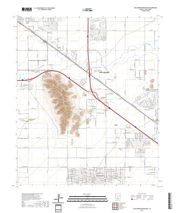
2023 Map of Casa Grande Mountains
USGS Topo · Published 2023About this map
The Casa Grande Mountains rise sharply above the desert floor, serving as a prominent landmark between the growing centers of Casa Grande and Eloy. This modern 2023 survey illustrates the intensive irrigation network of the Santa Cruz Flats, where the Casa Grande Canal snakes across the terrain to support regional agriculture. Local history is anchored by the Pioneer Cem near the rail-aligned community of Arizola and the Mountain View Cem further south. The map documents the rapid expansion of residential street grids in Arizona City and the surrounding Pinal County flats, contrasting the rugged slopes of Toltec Buttes against the modern interstate and local road networks that define contemporary transport in this part of the Sonoran Desert.
Find a feature on this map
171 named features on this map. Tap any name to fly to it.
Don’t see what you’re looking for? This feature index may not catch every label — zoom into the map to look around manually.
Map Details
Editions of this 2023 Casa Grande Mountains Map
This is the sole edition of this map. No revisions or reprints were ever made.
Other maps of this area

1922 · Casa Grande
USGS Topo · 1:62,500

1922 · Signal Peak
USGS Topo · 1:62,500

1924 · Signal Peak
USGS Topo · 1:62,500

1924 · Casa Grande
USGS Topo · 1:62,500

1942 · Silver Reef Mountains
USGS Topo · 1:62,500

1947 · Eloy
USGS Topo · 1:62,500

1948 · Eloy
USGS Topo · 1:62,500

1956 · Tucson
USGS Topo · 1:250,000

1958 · Tucson
USGS Topo · 1:250,000

1959 · Tucson
USGS Topo · 1:250,000