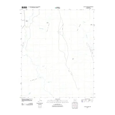
2010 Map of Casa Salazar
USGS Topo · Published 2010About this map
Casa Salazar and the neighboring settlement of Cañoncito sit along the winding course of the Rio Puerco in this 2010 depiction of the New Mexico high desert. The landscape is dominated by massive volcanic and sedimentary formations, most notably the expansive Mesa Prieta which runs north-to-south through the center of the quadrangle. Other prominent landforms include the sharp profile of Squaw Peak and the high ridges of Mesa Cortada to the east.
Find a feature on this map
19 named features on this map. Tap any name to fly to it.
Don’t see what you’re looking for? This feature index may not catch every label — zoom into the map to look around manually.
Map Details
Editions of this 2010 Casa Salazar Map
This is the sole edition of this map. No revisions or reprints were ever made.
Other maps of this area

1883 · Mt. Taylor
USGS Topo · 1:250,000

1886 · Mt. Taylor
USGS Topo · 1:250,000

1888 · Bernalillo
USGS Topo · 1:125,000

1889 · Albuquerque
USGS Topo · 1:125,000

1890 · Jemes
USGS Topo · 1:125,000

1892 · Jemes
USGS Topo · 1:125,000

1892 · Mt. Taylor
USGS Topo · 1:250,000

1893 · Albuquerque
USGS Topo · 1:125,000

1899 · Mt. Taylor
USGS Topo · 1:250,000

1939 · San Ysidro
USGS Topo · 1:62,500