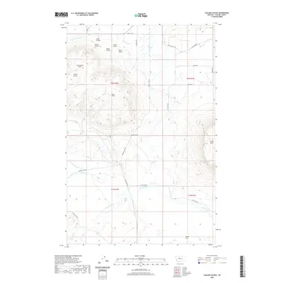
2020 Map of Cascade Colony
USGS Topo · Published 2020About this map
Cascade Colony stands as a focal point of communal living and agriculture in this section of Cascade County, where the plains of Central Montana meet prominent volcanic landforms. The landscape is defined by the striking profiles of Shaw Butte and Square Butte, which rise sharply above the surrounding drainages. Water management is central to the area's development, evidenced by the Fort Shaw Canal and the Russell Lateral supplying the northern fields, while the southern reaches transition into the broad Muddy Flats. A complex network of coulees, including Fjeld, Hanson, and O'Neil, carve into the terrain, channeling runoff toward larger water bodies like Little Muddy Cr and Saint Johns Cr. The map's road system, featuring routes like Birdtail Creek Rd and Shaw Cutoff Rd, reflects the rural connectivity required to maintain these isolated ranching and colony operations.
Find a feature on this map
33 named features on this map. Tap any name to fly to it.
Don’t see what you’re looking for? This feature index may not catch every label — zoom into the map to look around manually.
Map Details
Editions of this 2020 Cascade Colony Map
This is the sole edition of this map. No revisions or reprints were ever made.
Other maps of this area

1886 · Great Falls
USGS Topo · 1:250,000

1949 · Cascade
USGS Topo · 1:62,500

1949 · Vaughn
USGS Topo · 1:62,500

1950 · Fairfield
USGS Topo · 1:62,500

1951 · Cascade
USGS Topo · 1:62,500

1952 · Vaughn
USGS Topo · 1:62,500

1954 · Great Falls
USGS Topo · 1:250,000

1957 · Great Falls
USGS Topo · 1:250,000

1960 · Simms
USGS Topo · 1:62,500

1976 · Great Falls North
USGS Topo · 1:100,000