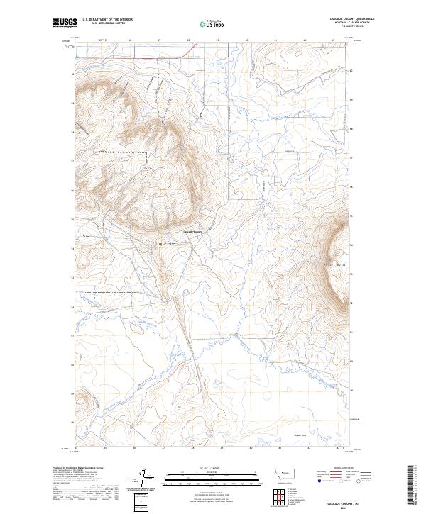
2024 Map of Cascade Colony
USGS Topo · Published 2024About this map
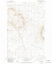
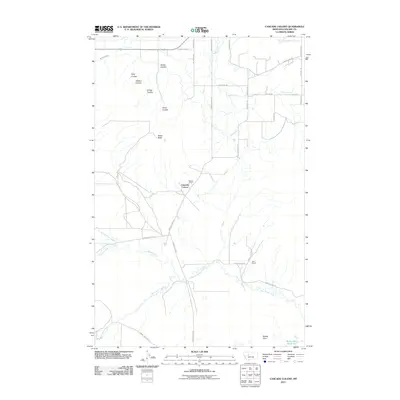
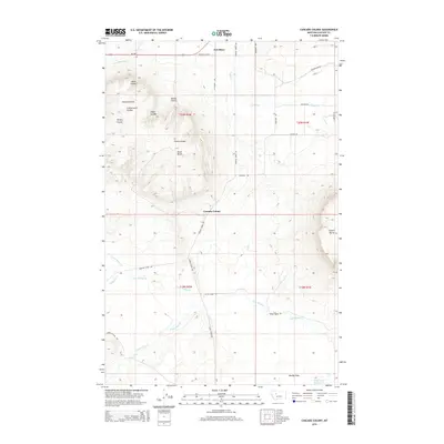
Cascade Colony occupies a central position on this landscape, set against a backdrop of prominent landforms like Shaw Butte and Square Butte. This area of Montana is defined by its dramatic relief, where numerous coulees—including Field Coulee, Hanson Coulee, and Cottonwood Coulee—carve through the terrain towards the lower Muddy Flats. The irrigation and water management history of the region is evident in the presence of the Fort Shaw Canal in the northwest, which reflects the agricultural development of the Sun River valley. A network of rural roads such as Birdtail Creek Rd and Shaw Cutoff Rd connects isolated homesteads and ranching areas. The drainage patterns of Little Muddy Creek, Crown Butte Creek, and Saint Johns Creek highlight the seasonal water flow essential to this ranching country.
Find a feature on this map
31 named features on this map. Tap any name to fly to it.
Don’t see what you’re looking for? This feature index may not catch every label — zoom into the map to look around manually.
Map Details
Editions of this 2024 Cascade Colony Map
This is the sole edition of this map. No revisions or reprints were ever made.
Historical Maps of Cascade Hutterite Colony Through Time
6 maps found