
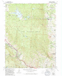
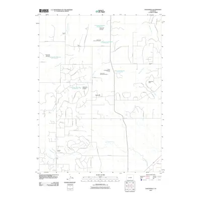
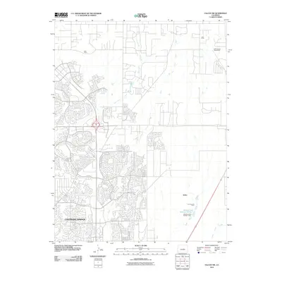
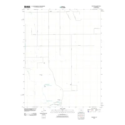
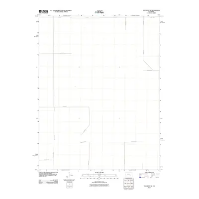
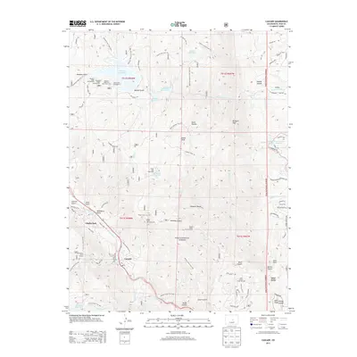
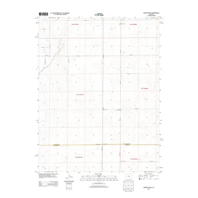
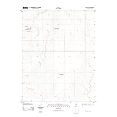
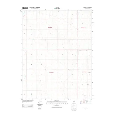
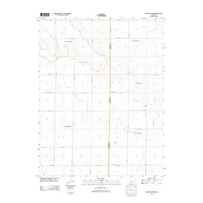
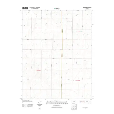
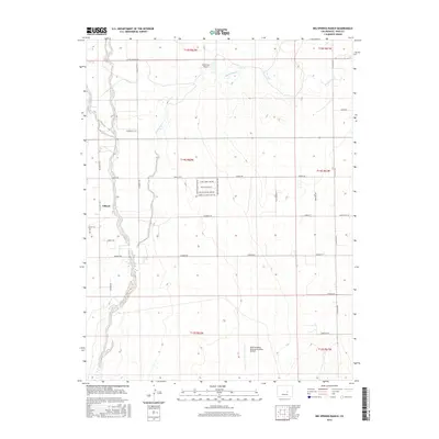
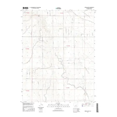
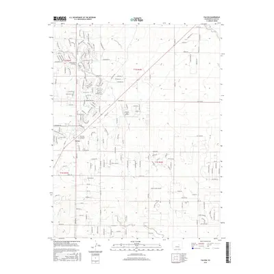
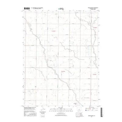
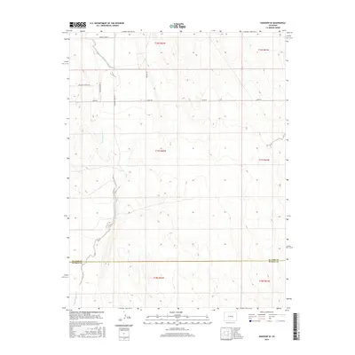
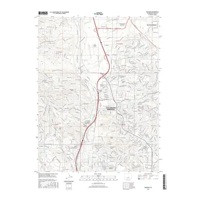
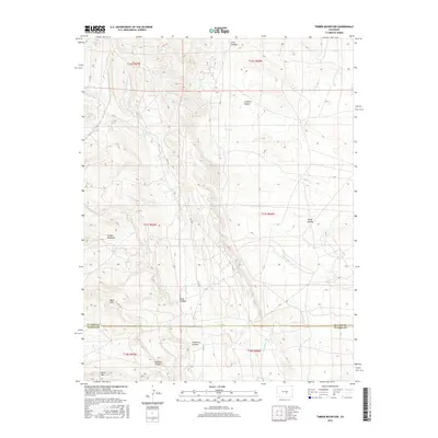
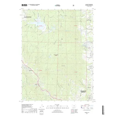
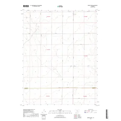
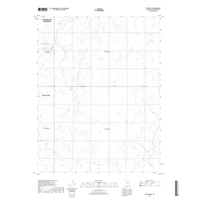
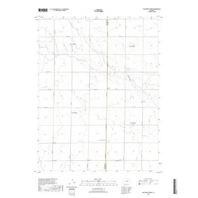
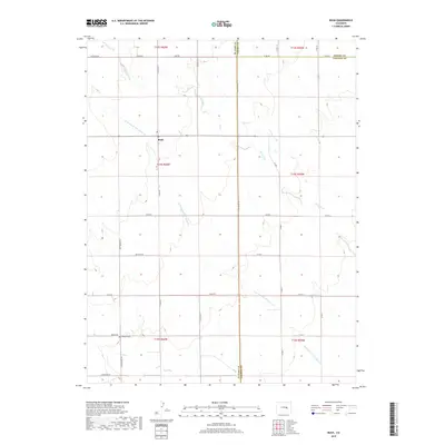
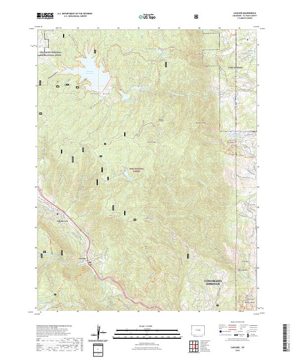
1994 Map of Cascade
USGS Topo · Published 1998About this map
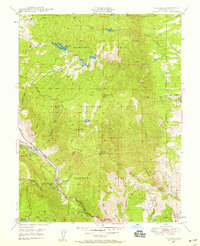
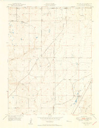
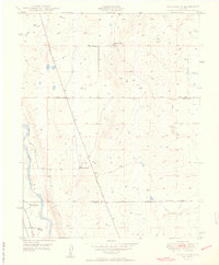
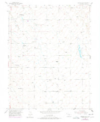
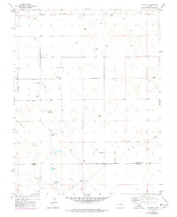
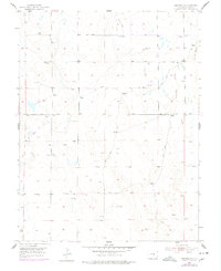
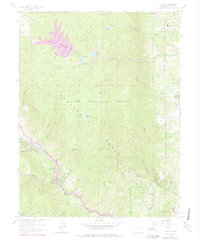
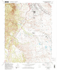
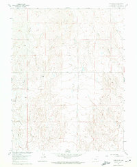
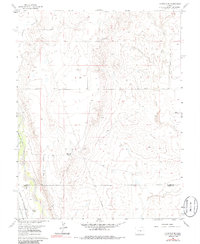
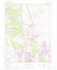
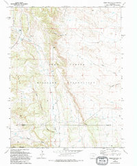
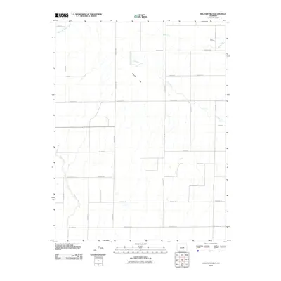
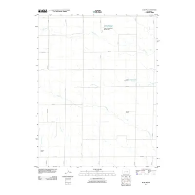
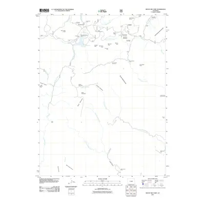
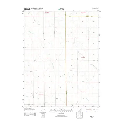
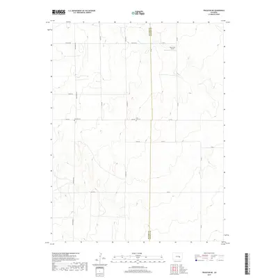
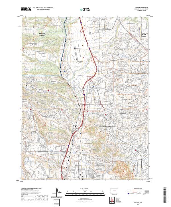
The Rampart Range dominates this mid-1990s landscape, illustrating the interface between the high-altitude wilderness of Pike National Forest and the expanding western edge of Colorado Springs. High-country water management is a central theme, evidenced by a network of reservoirs and infrastructure including Rampart Reservoir, Stanley Reservoir, Nichols Reservoir, and the Palmer Reservoir. This survey captures the complex land use of the era, where recreational spaces like the Farish Memorial Recreation Area (USAFA) and the Garden of the Gods sit adjacent to the highly structured grounds of the United States Air Force Academy. Small settlements such as Chipita Park and Cascade are tucked into the steep drainages along Ute Pass, while more secluded sites like Glen Eyrie are found near the rugged canyon mouths. The map serves as a record of the region's diverse geography, from the heights of Blodgett Peak to the deep recesses of the Hurricane Canyon Natural Area.
Find a feature on this map
52 named features on this map. Tap any name to fly to it.
Don’t see what you’re looking for? This feature index may not catch every label — zoom into the map to look around manually.
Map Details
Editions of this 1994 Cascade Map
This is the sole edition of this map. No revisions or reprints were ever made.
Historical Maps of Colorado Springs Through Time
209 maps found

1893 Big Springs
El Paso County, CO
1948 Cascade
El Paso County, CO

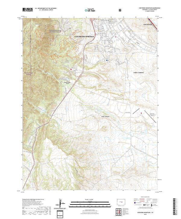
1948 Cheyenne Mountain
El Paso County, CO

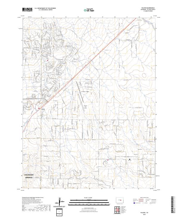
1948 Falcon
El Paso County, CO

1948 Falcon
El Paso County, CO

1948 Falcon NW
El Paso County, CO

1948 Fountain SE
El Paso County, CO
1948 Mount Big Chief
El Paso County, CO

1948 Mount Big Chief
El Paso County, CO

1948 Pikeview
El Paso County, CO

1948 Timber Mountain
El Paso County, CO

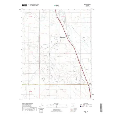
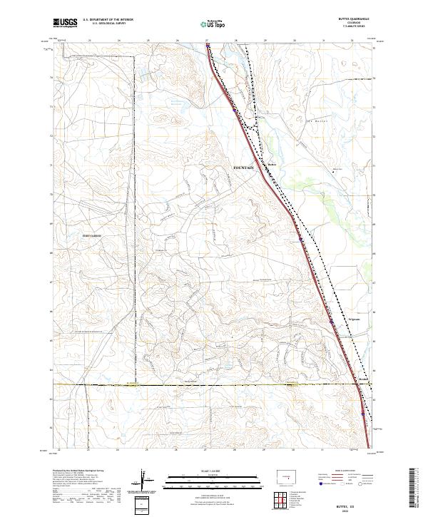
1949 Buttes
El Paso County, CO

1949 Cheyenne Mountain
El Paso County, CO

1949 Corral Bluffs
El Paso County, CO

1949 Mount Big Chief
El Paso County, CO

1949 Pikeview
El Paso County, CO
1949 Timber Mountain
El Paso County, CO

1950 Cascade
El Paso County, CO
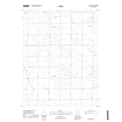
1950 Elsmere
El Paso County, CO
1950 Falcon NW
El Paso County, CO

1950 Fountain NE
El Paso County, CO
1950 Fountain SE
El Paso County, CO
1950 Manitou
El Paso County, CO

1951 Falcon
El Paso County, CO

1951 Mount Big Chief
El Paso County, CO
1954 Eastonville
El Paso County, CO
1954 Haegler Ranch
El Paso County, CO
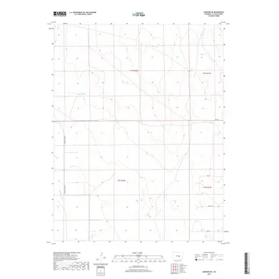
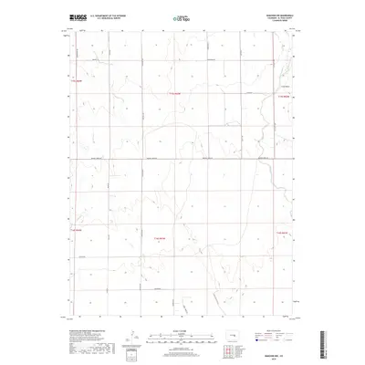
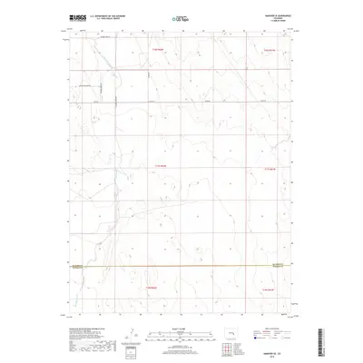
1954 Hanover
El Paso County, CO
1954 Hanover NW
El Paso County, CO

1961 Buttes
El Paso County, CO
1961 Cascade
El Paso County, CO
1961 Cheyenne Mountain
El Paso County, CO
1961 Corral Bluffs
El Paso County, CO
1961 Elsmere
El Paso County, CO
1961 Falcon
El Paso County, CO

1961 Falcon NW
El Paso County, CO
1961 Fountain NE
El Paso County, CO
1961 Fountain SE
El Paso County, CO

1961 Mount Big Chief
El Paso County, CO
1961 Pikeview
El Paso County, CO
1961 Timber Mountain
El Paso County, CO
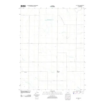
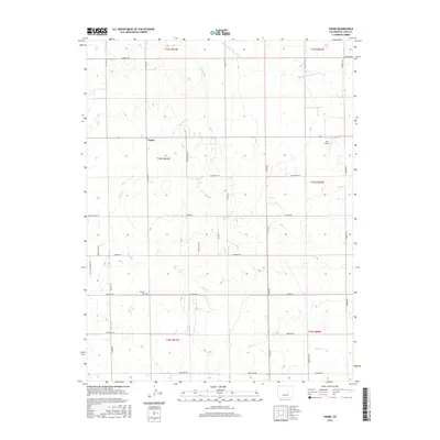
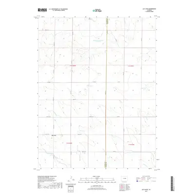
1970 Alta Vista
El Paso County, CO

1970 Ramah South
El Paso County, CO

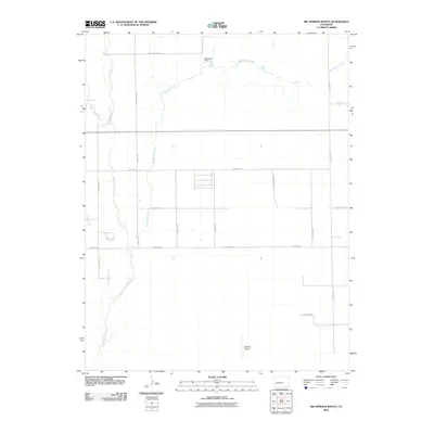
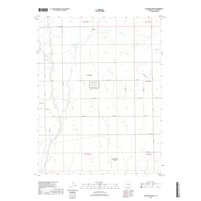
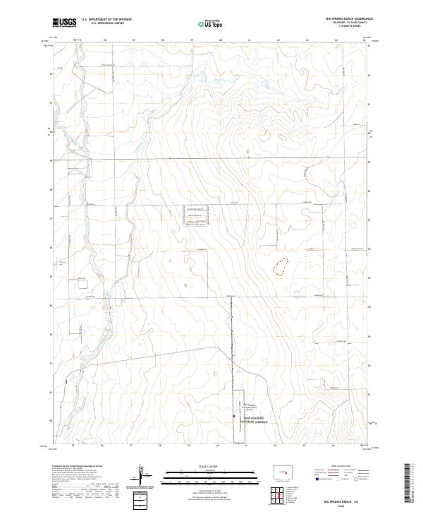
1973 Big Springs Ranch
El Paso County, CO

1973 Edison School
El Paso County, CO

1973 Hanover NE
El Paso County, CO

1973 Hanover SE
El Paso County, CO

1973 Holcolm Hills
El Paso County, CO

1973 Holtwold Store
El Paso County, CO

1973 Rush
El Paso County, CO

1973 Rush NW
El Paso County, CO

1973 Truckton
El Paso County, CO
1973 Truckton NE
El Paso County, CO

1973 Truckton SE
El Paso County, CO

1973 Yoder
El Paso County, CO
1986 Cascade
El Paso County, CO
1986 Pikeview
El Paso County, CO
1994 Cascade
El Paso County, CO

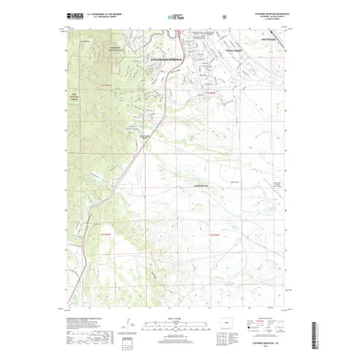
1994 Mount Big Chief
El Paso County, CO
2010 Alta Vista
El Paso County, CO
2010 Big Springs Ranch
El Paso County, CO
2010 Buttes
El Paso County, CO
2010 Corral Bluffs
El Paso County, CO
2010 Eastonville
El Paso County, CO
2010 Edison School
El Paso County, CO
2010 Elsmere
El Paso County, CO
2010 Falcon
El Paso County, CO
2010 Falcon NW
El Paso County, CO
2010 Fountain NE
El Paso County, CO
2010 Fountain SE
El Paso County, CO
2010 Haegler Ranch
El Paso County, CO
2010 Hanover
El Paso County, CO
2010 Hanover NE
El Paso County, CO
2010 Hanover NW
El Paso County, CO
2010 Hanover SE
El Paso County, CO
2010 Holcolm Hills
El Paso County, CO
2010 Holtwold Store
El Paso County, CO

2010 Pikeview
El Paso County, CO
2010 Ramah South
El Paso County, CO
2010 Rush
El Paso County, CO
2010 Rush NW
El Paso County, CO
2010 Timber Mountain
El Paso County, CO
2010 Truckton
El Paso County, CO
2010 Truckton NE
El Paso County, CO
2010 Truckton SE
El Paso County, CO
2010 Yoder
El Paso County, CO
2011 Cascade
El Paso County, CO
2011 Cheyenne Mountain
El Paso County, CO
2011 Mount Big Chief
El Paso County, CO
2013 Alta Vista
El Paso County, CO
2013 Big Springs Ranch
El Paso County, CO
2013 Buttes
El Paso County, CO
2013 Cascade
El Paso County, CO
2013 Cheyenne Mountain
El Paso County, CO
2013 Corral Bluffs
El Paso County, CO
2013 Eastonville
El Paso County, CO
2013 Edison School
El Paso County, CO
2013 Elsmere
El Paso County, CO
2013 Falcon
El Paso County, CO
2013 Falcon NW
El Paso County, CO
2013 Fountain NE
El Paso County, CO
2013 Fountain SE
El Paso County, CO
2013 Haegler Ranch
El Paso County, CO
2013 Hanover
El Paso County, CO
2013 Hanover NE
El Paso County, CO
2013 Hanover NW
El Paso County, CO
2013 Hanover SE
El Paso County, CO
2013 Holcolm Hills
El Paso County, CO
2013 Holtwold Store
El Paso County, CO
2013 Mount Big Chief
El Paso County, CO
2013 Pikeview
El Paso County, CO
2013 Ramah South
El Paso County, CO
2013 Rush
El Paso County, CO
2013 Rush NW
El Paso County, CO
2013 Timber Mountain
El Paso County, CO
2013 Truckton
El Paso County, CO
2013 Truckton NE
El Paso County, CO
2013 Truckton SE
El Paso County, CO
2013 Yoder
El Paso County, CO
2016 Alta Vista
El Paso County, CO
2016 Big Springs Ranch
El Paso County, CO
2016 Buttes
El Paso County, CO
2016 Cascade
El Paso County, CO
2016 Cheyenne Mountain
El Paso County, CO
2016 Corral Bluffs
El Paso County, CO
2016 Eastonville
El Paso County, CO
2016 Edison School
El Paso County, CO
2016 Elsmere
El Paso County, CO
2016 Falcon
El Paso County, CO
2016 Falcon NW
El Paso County, CO
2016 Fountain NE
El Paso County, CO
2016 Fountain SE
El Paso County, CO
2016 Haegler Ranch
El Paso County, CO
2016 Hanover
El Paso County, CO
2016 Hanover NE
El Paso County, CO
2016 Hanover NW
El Paso County, CO
2016 Hanover SE
El Paso County, CO
2016 Holcolm Hills
El Paso County, CO
2016 Holtwold Store
El Paso County, CO
2016 Mount Big Chief
El Paso County, CO
2016 Pikeview
El Paso County, CO
2016 Ramah South
El Paso County, CO
2016 Rush
El Paso County, CO
2016 Rush NW
El Paso County, CO
2016 Timber Mountain
El Paso County, CO
2016 Truckton
El Paso County, CO
2016 Truckton NE
El Paso County, CO
2016 Truckton SE
El Paso County, CO
2016 Yoder
El Paso County, CO
2019 Alta Vista
El Paso County, CO
2019 Big Springs Ranch
El Paso County, CO
2019 Buttes
El Paso County, CO
2019 Cascade
El Paso County, CO
2019 Cheyenne Mountain
El Paso County, CO
2019 Corral Bluffs
El Paso County, CO
2019 Eastonville
El Paso County, CO
2019 Edison School
El Paso County, CO
2019 Elsmere
El Paso County, CO
2019 Falcon
El Paso County, CO
2019 Falcon NW
El Paso County, CO
2019 Fountain NE
El Paso County, CO
2019 Fountain SE
El Paso County, CO
2019 Haegler Ranch
El Paso County, CO
2019 Hanover
El Paso County, CO
2019 Hanover NE
El Paso County, CO
2019 Hanover NW
El Paso County, CO
2019 Hanover SE
El Paso County, CO
2019 Holcolm Hills
El Paso County, CO
2019 Holtwold Store
El Paso County, CO
2019 Mount Big Chief
El Paso County, CO
2019 Pikeview
El Paso County, CO
2019 Ramah South
El Paso County, CO
2019 Rush
El Paso County, CO
2019 Rush NW
El Paso County, CO
2019 Timber Mountain
El Paso County, CO
2019 Truckton
El Paso County, CO
2019 Truckton NE
El Paso County, CO
2019 Truckton SE
El Paso County, CO
2019 Yoder
El Paso County, CO
2022 Alta Vista
El Paso County, CO
2022 Big Springs Ranch
El Paso County, CO
2022 Buttes
El Paso County, CO
2022 Cascade
El Paso County, CO
2022 Cheyenne Mountain
El Paso County, CO
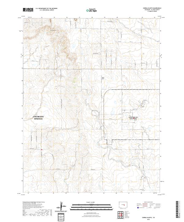
2022 Corral Bluffs
El Paso County, CO
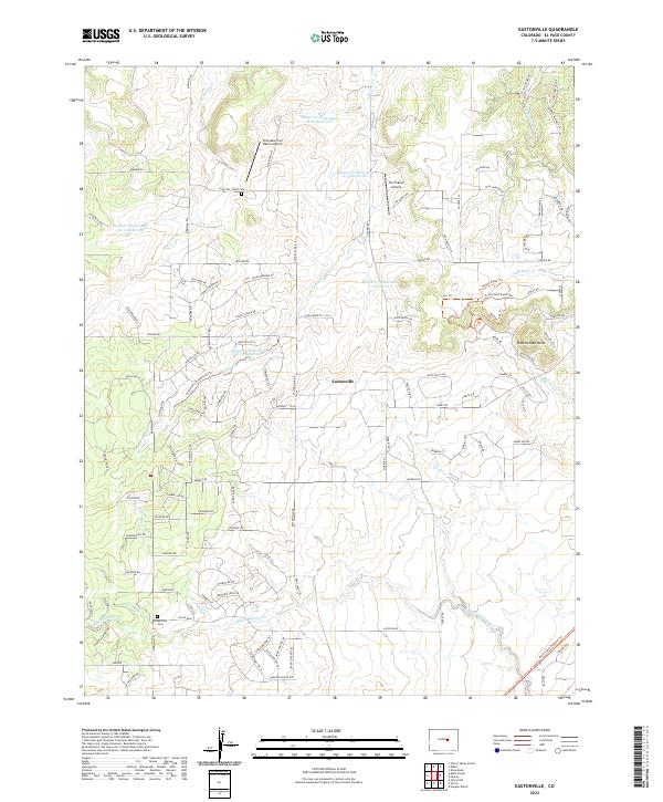
2022 Eastonville
El Paso County, CO
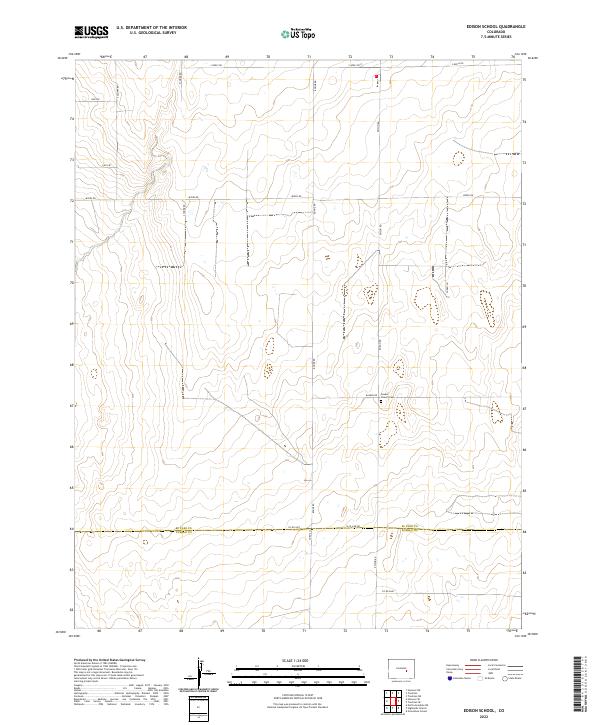
2022 Edison School
El Paso County, CO
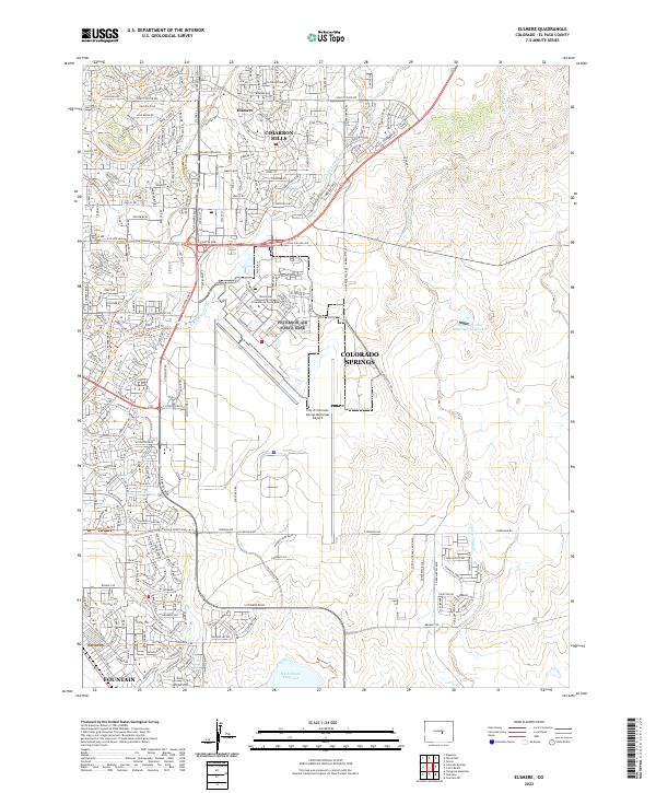
2022 Elsmere
El Paso County, CO
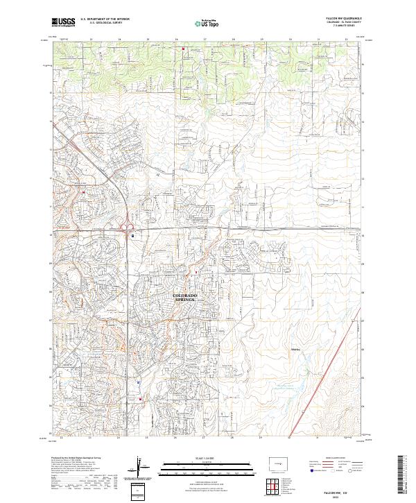
2022 Falcon NW
El Paso County, CO
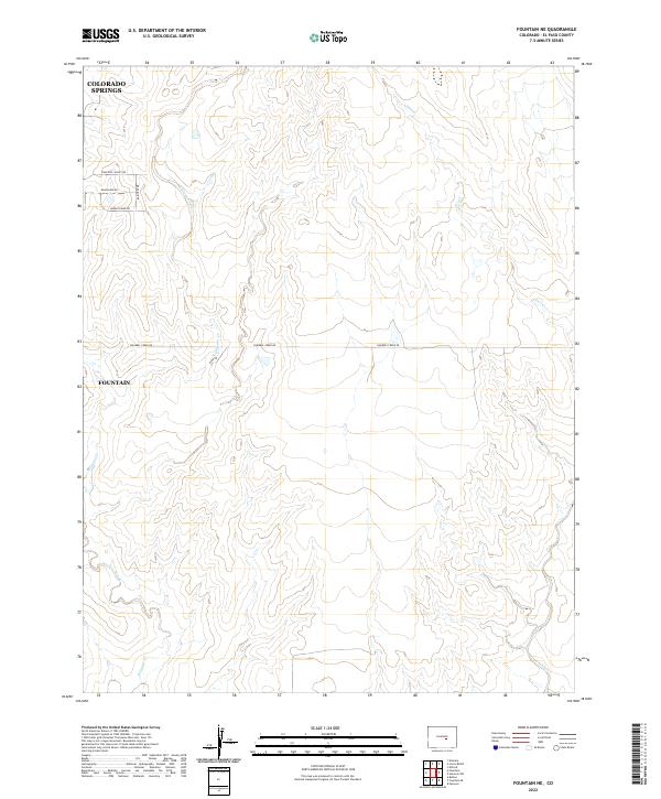
2022 Fountain NE
El Paso County, CO
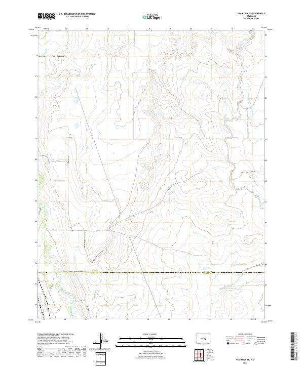
2022 Fountain SE
El Paso County, CO
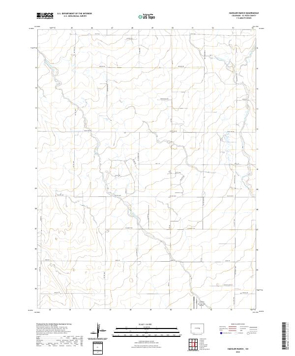
2022 Haegler Ranch
El Paso County, CO
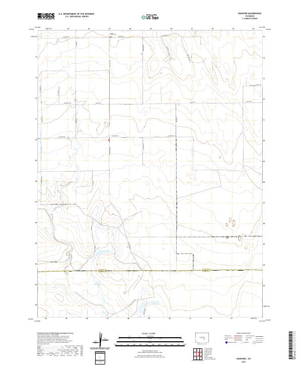
2022 Hanover
El Paso County, CO
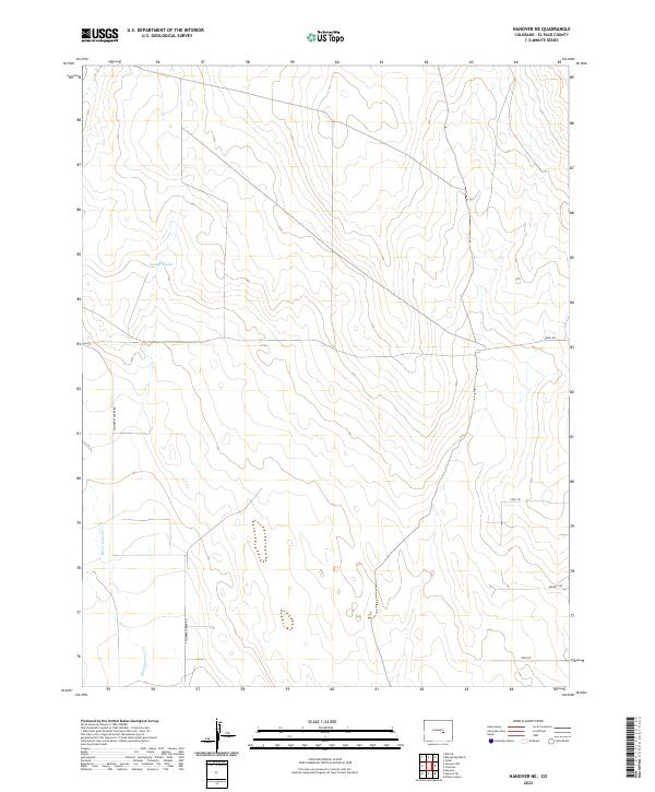
2022 Hanover NE
El Paso County, CO
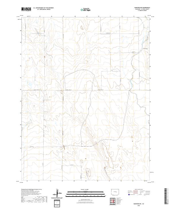
2022 Hanover NW
El Paso County, CO
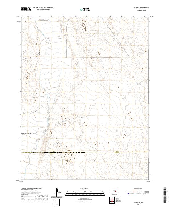
2022 Hanover SE
El Paso County, CO
2022 Holcolm Hills
El Paso County, CO
2022 Holtwold Store
El Paso County, CO

2022 Mount Big Chief
El Paso County, CO

2022 Ramah South
El Paso County, CO
2022 Rush
El Paso County, CO
2022 Rush NW
El Paso County, CO

2022 Timber Mountain
El Paso County, CO
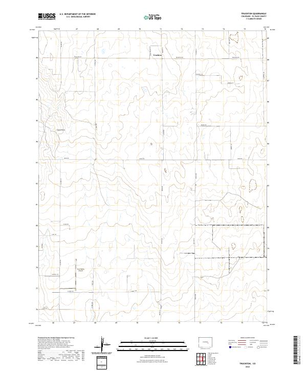
2022 Truckton
El Paso County, CO
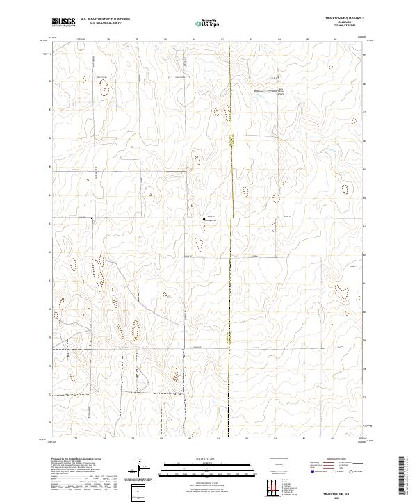
2022 Truckton NE
El Paso County, CO
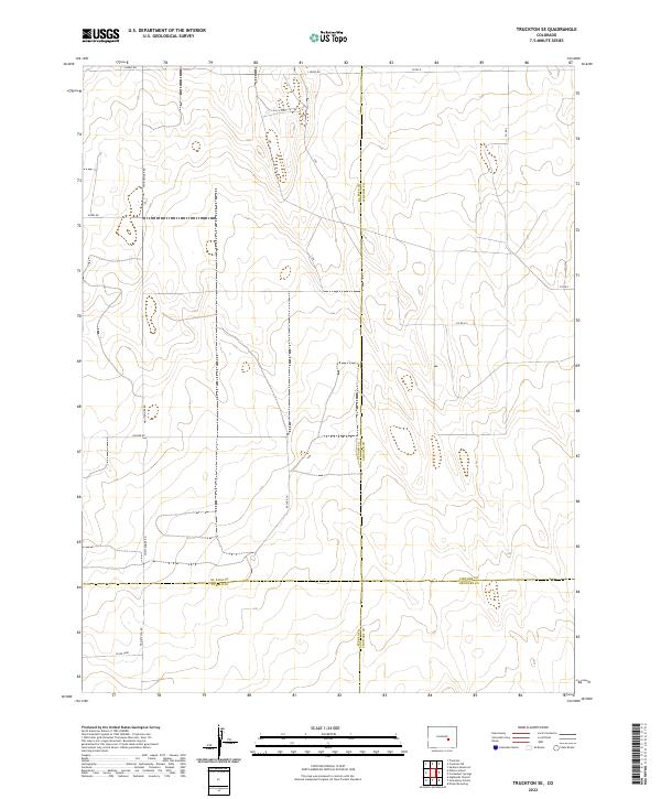
2022 Truckton SE
El Paso County, CO
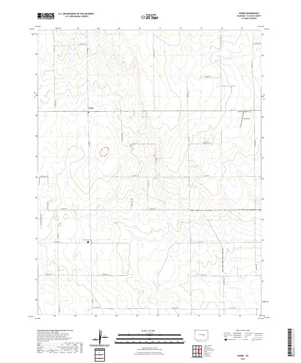
2022 Yoder
El Paso County, CO
2023 Falcon
El Paso County, CO
2023 Pikeview
El Paso County, CO