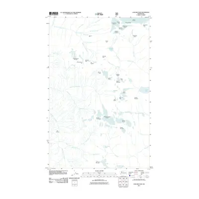
2011 Map of Cascade Pass
USGS Topo · Published 2011About this map
Diamond Mine sits tucked below Morning Star Creek, a rare industrial mark in a landscape dominated by the high-altitude divide between the Skagit and Chelan watersheds. This 2011 survey illustrates the complex glacial geography of the North Cascades, where the Boston Glacier and Quien Sabe Glacier flank the jagged summits of Boston Peak and Sahale Mountain. The hydrologic patterns are well-defined, showing the headwaters of the North Fork Cascade River flowing west while the Stehekin River drains to the southeast. Vital crossing points like Cascade Pass connect these drainage basins, providing passage between the steep walls of Johannesburg Mountain and the high ridges of Sahale Arm. Notable alpine water bodies, including Doubtful Lake, Trapper Lake, and the Yang Yang Lakes, dot the high basins and cirques near the Middle Cascade Glacier.
Find a feature on this map
55 named features on this map. Tap any name to fly to it.
Don’t see what you’re looking for? This feature index may not catch every label — zoom into the map to look around manually.
Map Details
Editions of this 2011 Cascade Pass Map
This is the sole edition of this map. No revisions or reprints were ever made.
Other maps of this area

1899 · Glacier Peak
USGS Topo · 1:125,000

1901 · Glacier Peak
USGS Topo · 1:125,000

1902 · Stehekin
USGS Topo · 1:125,000

1904 · Stehekin
USGS Topo · 1:125,000

1920 · Slate Pass
USGS Topo · 1:125,000

1955 · Concrete
USGS Topo · 1:250,000

1958 · Concrete
USGS Topo · 1:250,000

1962 · Concrete
USGS Topo · 1:250,000
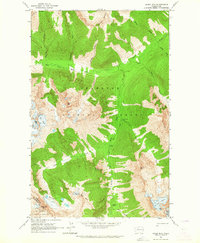
1963 · Agnes Mtn
USGS Topo · 1:24,000

1963 · Sonny Boy Lakes
USGS Topo · 1:24,000