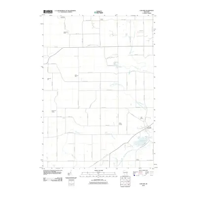
2010 Map of Cascade
USGS Topo · Published 2010About this map
Cascade serves as the primary hub in this portion of Sheboygan County, situated where the North Branch Milwaukee River winds through the landscape. The area is marked by a complex network of glacial geography, most notably the Greenbush Kettle and the high vantage point of Johnson Hill. These natural formations are mirrored by a dense grid of rural roads, including Kettle Moraine Dr and the aptly named 1848 Settlement Ln, which point toward the region's deep roots in early Wisconsin statehood. Local history is anchored by several long-standing burial grounds such as Saint Michaels Catholic Cemetery and Mount Pleasant Cemetery. The presence of the Parnell Observation Tower underscores the significance of the terrain, while water bodies like Lake Ellen and the Onion River define the local drainage patterns and recreational geography.
Find a feature on this map
58 named features on this map. Tap any name to fly to it.
Don’t see what you’re looking for? This feature index may not catch every label — zoom into the map to look around manually.
Map Details
Editions of this 2010 Cascade Map
This is the sole edition of this map. No revisions or reprints were ever made.
Other maps of this area

1954 · Sheboygan Falls
USGS Topo · 1:62,500

1954 · Howards Grove
USGS Topo · 1:62,500

1954 · Franklin
USGS Topo · 1:24,000

1954 · Kiel
USGS Topo · 1:62,500

1954 · Milwaukee
USGS Topo · 1:250,000

1955 · Kewaskum
USGS Topo · 1:62,500

1957 · Madison
USGS Topo · 1:250,000

1958 · Milwaukee
USGS Topo · 1:250,000

1960 · Madison
USGS Topo · 1:250,000
1974 · Random Lake
USGS Topo · 1:24,000