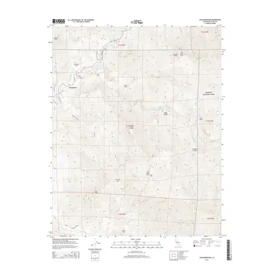
2015 Map of Case Mountain
USGS Topo · Published 2015About this map
The Sequoia National Park border defines the eastern reaches of this Tulare County landscape, where the high Sierra terrain meets the lower foothills of the Kaweah River drainage. The settlement of Hammond sits near the confluence of the river's forks, serving as a gateway to the steep interior. The map documents a rugged verticality, rising from the river canyons to prominent high points like Milk Ranch Peak, Case Mtn, and Shepherd Peak. A network of winding mountain roads and trails, including Mineral King Rd and the Chutes and Ladders path, traces the difficult topography of the Sierra Nevada. The terrain is deeply incised by numerous waterways such as Salt Cr, Cinnamon Cr, and Grumigen Cr, illustrating the complex watershed that feeds the Central Valley below.
Find a feature on this map
40 named features on this map. Tap any name to fly to it.
Don’t see what you’re looking for? This feature index may not catch every label — zoom into the map to look around manually.
Map Details
Editions of this 2015 Case Mountain Map
This is the sole edition of this map. No revisions or reprints were ever made.
Other maps of this area

1903 · Tehipite
USGS Topo · 1:125,000

1904 · Kaweah
USGS Topo · 1:125,000

1905 · Tehipite
USGS Topo · 1:125,000

1909 · Kaweah
USGS Topo · 1:125,000

1937 · Kaweah
USGS Topo · 1:125,000

1948 · Fresno
USGS Topo · 1:250,000

1955 · Fresno
USGS Topo · 1:250,000

1956 · Fresno
USGS Topo · 1:250,000

1956 · Giant Forest
USGS Topo · 1:62,500

1956 · Mineral King
USGS Topo · 1:62,500