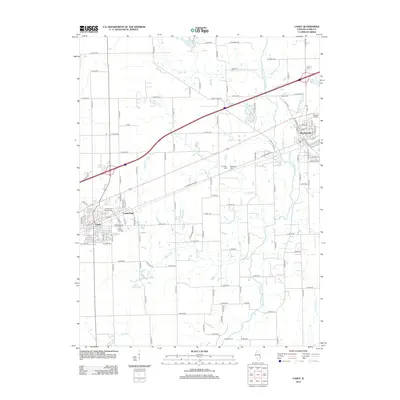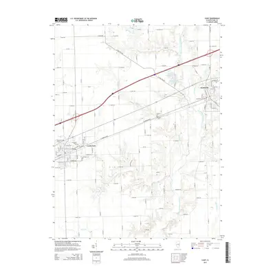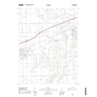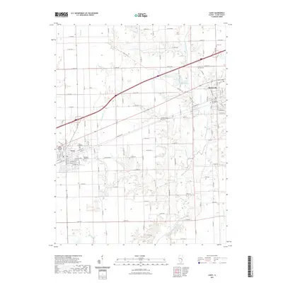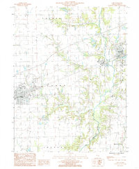
1984 Map of Casey
USGS Topo · Published 1985About this map
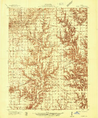
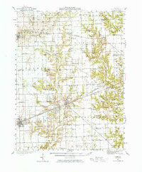
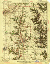
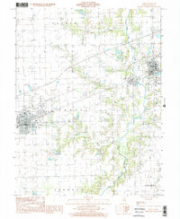
The North Fork Embarras River winds through this central Illinois landscape, serving as a primary drainage corridor between the established settlements of Casey and Martinsville. Surveyed in the early 1980s, the map reveals a region defined by agricultural production and industrial extraction, with a massive Quarry and Gravel Pit south of the main town. These features, along with the Quarry Branch and Turkey Run tributaries, illustrate the importance of local geological resources to the area's development.
Find a feature on this map
26 named features on this map. Tap any name to fly to it.
Don’t see what you’re looking for? This feature index may not catch every label — zoom into the map to look around manually.
Map Details
Editions of this 1984 Casey Map
This is the sole edition of this map. No revisions or reprints were ever made.
Historical Maps of Casey Through Time
10 maps found