Loading...
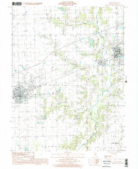
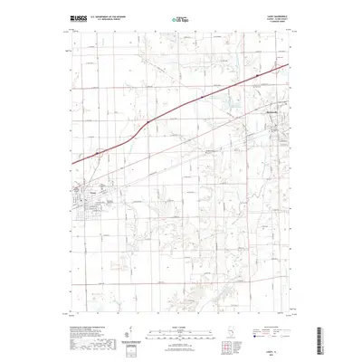
Loading map...1998 Map of Casey
USGS Topo · Published 2002About this map
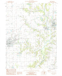
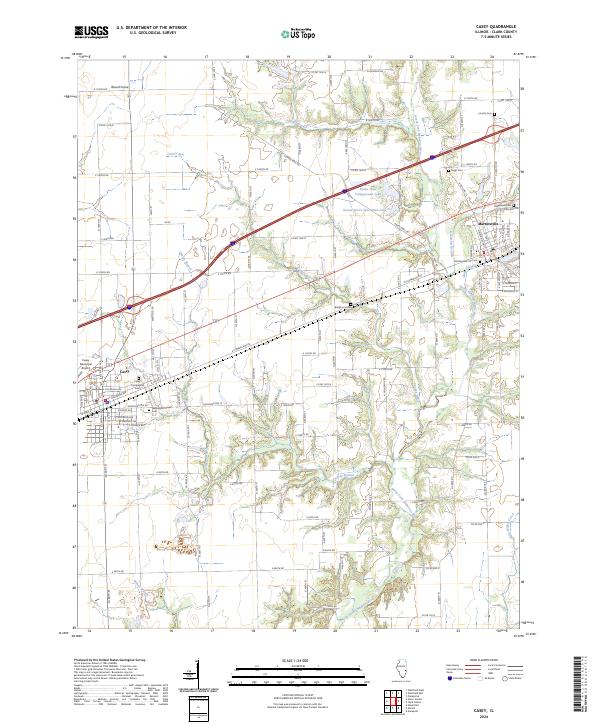
Casey and Martinsville anchor the landscape of Clark County in this late-twentieth-century survey, which reveals the intersection of industrial activity and the prairie's natural drainage. The eastern edge of Casey is depicted alongside the agricultural expanses of Casey and Martinsville townships, where the terrain is carved by the North Fork Embarras River and its various tributaries, including Turkey Run and Little Kettering Creek.
Find a feature on this map
15 named features on this map. Tap any name to fly to it.
Don’t see what you’re looking for? This feature index may not catch every label — zoom into the map to look around manually.
Map Details
Date Portrayed1998
Date Published2002
PublisherU.S. Geological Survey
Map TypeTopographic
Scale1:24,000
Physical Dimensions22 x 26.8 inches
Editions of this 1998 Casey Map
This is the sole edition of this map. No revisions or reprints were ever made.
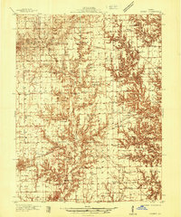
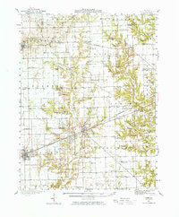
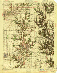
Historical Maps of Casey Through Time
10 maps found
Featured Locations
Source Details
SourceU.S. Geological Survey
CopyrightPublic Domain