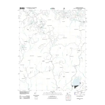
2011 Map of Cashiers
USGS Topo · Published 2011About this map
Cashiers and High Hampton sit within a landscape defined by dramatic elevation changes and a sophisticated network of private lakes and dams. The upper reaches of the Horsepasture River and the Chattooga River dominate the hydrology of this mountain region, where man-made features like Fairfield Lake Dam and Hogback Dam have significantly altered the natural drainage. Local history is anchored by family-named landmarks and resting places, such as the Upper Zachary and Lower Zachary Cemetery near Cashiers Valley, and the Norton Cemetery located further south near Grimshawes.
Find a feature on this map
117 named features on this map. Tap any name to fly to it.
Don’t see what you’re looking for? This feature index may not catch every label — zoom into the map to look around manually.
Map Details
Editions of this 2011 Cashiers Map
This is the sole edition of this map. No revisions or reprints were ever made.
Other maps of this area

1886 · Walhalla
USGS Topo · 1:125,000

1888 · Pickens
USGS Topo · 1:125,000

1891 · Cowee
USGS Topo · 1:125,000

1892 · Walhalla
USGS Topo · 1:125,000

1894 · Pickens
USGS Topo · 1:125,000

1896 · Walhalla
USGS Topo · 1:125,000

1897 · Cowee
USGS Topo · 1:125,000

1905 · Pisgah
USGS Topo · 1:125,000

1906 · Pisgah
USGS Topo · 1:125,000

1907 · Cowee
USGS Topo · 1:125,000