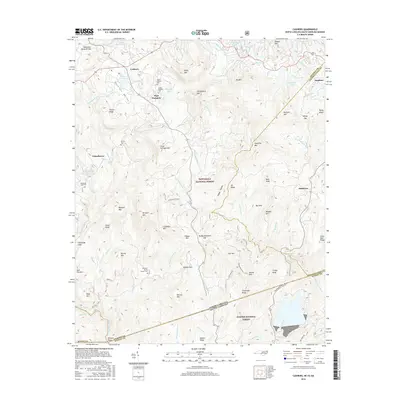
2016 Map of Cashiers
USGS Topo · Published 2016About this map
Tennessee Valley Divide anchors the northern edge of this high-elevation mountain region where Jackson and Transylvania counties meet the South Carolina border. The village of Cashiers sits within the Cashiers Valley, serving as a central hub for the surrounding settlements of High Hampton, Grimshawes, and Sapphire. The landscape is defined by the headwaters of several major river systems, including the Chattooga River and the Horsepasture River, which drain through the Nantahala National Forest and Sumter National Forest.
Find a feature on this map
91 named features on this map. Tap any name to fly to it.
Don’t see what you’re looking for? This feature index may not catch every label — zoom into the map to look around manually.
Map Details
Editions of this 2016 Cashiers Map
This is the sole edition of this map. No revisions or reprints were ever made.
Other maps of this area

1886 · Walhalla
USGS Topo · 1:125,000

1888 · Pickens
USGS Topo · 1:125,000

1891 · Cowee
USGS Topo · 1:125,000

1892 · Walhalla
USGS Topo · 1:125,000

1894 · Pickens
USGS Topo · 1:125,000

1896 · Walhalla
USGS Topo · 1:125,000

1897 · Cowee
USGS Topo · 1:125,000

1905 · Pisgah
USGS Topo · 1:125,000

1906 · Pisgah
USGS Topo · 1:125,000

1907 · Cowee
USGS Topo · 1:125,000