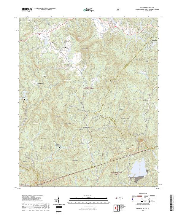
2022 Map of Cashiers
USGS Topo · Published 2022About this map
Cashiers Valley serves as the central hub of this high-elevation landscape where the Tennessee Valley Divide splits the waters of the Nantahala National Forest. The settlement patterns of Cashiers and High Hampton are defined by their proximity to Cashiers Lake and Hampton Lake, while family history is rooted in sites like Upper Zachary Cem and Norton Cem. The geography is characterized by numerous gaps and knobs, including Heady Mountain Gap and Jacks Knob. At the map's southern edge, a unique tri-state survey point is marked at Ellicott Rock, where the boundaries of North Carolina, South Carolina, and Georgia meet along the Chattooga Wild and Scenic River. This survey captures the complex drainage of the Whitewater River and Thompson River as they descend from the Blue Ridge toward the Piedmont.
Find a feature on this map
110 named features on this map. Tap any name to fly to it.
Don’t see what you’re looking for? This feature index may not catch every label — zoom into the map to look around manually.
Map Details
Editions of this 2022 Cashiers Map
This is the sole edition of this map. No revisions or reprints were ever made.
Other maps of this area

1886 · Walhalla
USGS Topo · 1:125,000

1888 · Pickens
USGS Topo · 1:125,000

1891 · Cowee
USGS Topo · 1:125,000

1892 · Walhalla
USGS Topo · 1:125,000

1894 · Pickens
USGS Topo · 1:125,000

1896 · Walhalla
USGS Topo · 1:125,000

1897 · Cowee
USGS Topo · 1:125,000

1905 · Pisgah
USGS Topo · 1:125,000

1906 · Pisgah
USGS Topo · 1:125,000

1907 · Cowee
USGS Topo · 1:125,000