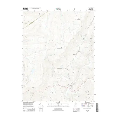
2014 Map of Cass
USGS Topo · Published 2014About this map
Cass serves as a focal point for this high-elevation mountain terrain where the headwaters of the Greenbrier River and the Tygart Valley River begin their divergent paths. The landscape is dominated by the ridges of the Monongahela National Forest, reaching a significant summit at Bald Knob Bald Knob Lookout Tower on the Back Allegheny Mtn. Settlement is sparse, clustered primarily in the valley at Cass or along the higher slopes at Wanless and the high-altitude site of Spruce. Local history is preserved at the Hilltop Cem and Wanless Cem, while the Allegheny Trail tracks the rugged geography. The map illustrates a classic Appalachian industrial and transport corridor, where narrow valleys like Leatherbark Run and Deer Creek provided the only passage through the steep rise of Cheat Mtn and Thorny Flat.
Find a feature on this map
48 named features on this map. Tap any name to fly to it.
Don’t see what you’re looking for? This feature index may not catch every label — zoom into the map to look around manually.
Map Details
Editions of this 2014 Cass Map
This is the sole edition of this map. No revisions or reprints were ever made.
Other maps of this area

1889 · Beverly
USGS Topo · 1:125,000

1891 · Huntersville
USGS Topo · 1:125,000

1892 · Beverly
USGS Topo · 1:125,000

1893 · Buckhannon
USGS Topo · 1:125,000

1894 · Huntersville
USGS Topo · 1:125,000

1896 · Buckhannon
USGS Topo · 1:125,000

1897 · Buckhannon
USGS Topo · 1:125,000

1901 · Monterey
USGS Topo · 1:125,000

1913 · Pickens
USGS Topo · 1:48,000

1915 · Pickens
USGS Topo · 1:62,500