Loading...
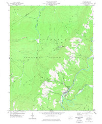
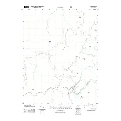
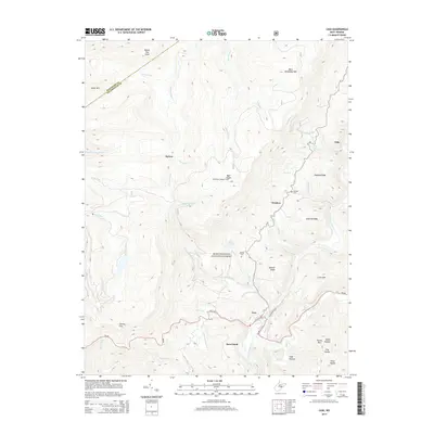
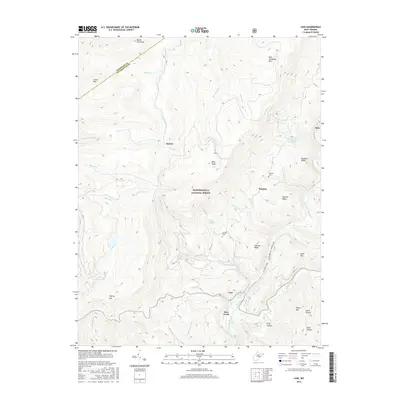
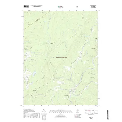
Loading map...1977 Map of Cass
USGS Topo · Published 1978About this map
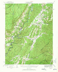
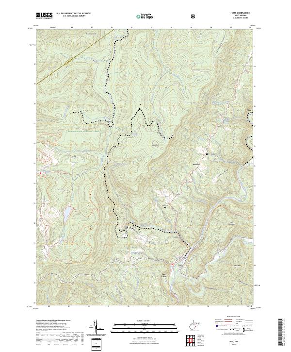
The Greenbrier River corridor serves as the industrial and recreational heart of this Pocahontas County landscape during the late 1970s. The town of Cass is the focal point, where the Cass Scenic Railroad State Park preserves the heritage of logging transportation. This network includes the Western Maryland Railroad and several historic grades, such as the Old Railroad Grade winding through the Monongahela National Forest.
Find a feature on this map
66 named features on this map. Tap any name to fly to it.
Don’t see what you’re looking for? This feature index may not catch every label — zoom into the map to look around manually.
Map Details
Date Portrayed1977
Date Published1978
PublisherU.S. Geological Survey
Map TypeTopographic
Scale1:24,000
Physical Dimensions21.9 x 26.8 inches
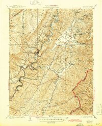
Editions of this 1977 Cass Map
This is the sole edition of this map. No revisions or reprints were ever made.
Historical Maps of Snowshoe Through Time
9 maps found
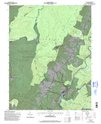
Featured Locations
Source Details
SourceU.S. Geological Survey
CopyrightPublic Domain