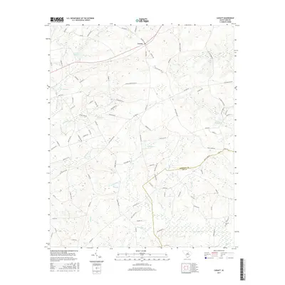
2017 Map of Cassatt
USGS Topo · Published 2017About this map
Cassatt sits at the intersection of local history and the natural landscape of Kershaw County, where several historic millponds and agricultural routes define the terrain. The northern half of the region is notably watery, anchored by Llewellyn Millpond, W Millpond, and Gogo Pond, which are fed by winding streams such as Big Pine Tree Cr. This drainage pattern suggests a legacy of local milling and farming, further evidenced by names like Pates Mill Br and Ratliff Millpond.
Find a feature on this map
93 named features on this map. Tap any name to fly to it.
Don’t see what you’re looking for? This feature index may not catch every label — zoom into the map to look around manually.
Map Details
Editions of this 2017 Cassatt Map
This is the sole edition of this map. No revisions or reprints were ever made.
Other maps of this area

1935 · Camden
USGS Topo · 1:48,000

1938 · Camden
USGS Topo · 1:62,500

1938 · Hagood
USGS Topo · 1:62,500

1941 · Spartanburg
USGS Topo · 1:250,000

1942 · Camden
USGS Topo · 1:125,000

1953 · Camden South
USGS Topo · 1:24,000

1953 · Spartanburg
USGS Topo · 1:250,000

1957 · Ashwood
USGS Topo · 1:62,500

1960 · Spartanburg
USGS Topo · 1:250,000

1963 · Spartanburg
USGS Topo · 1:250,000