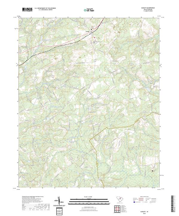
2024 Map of Cassatt
USGS Topo · Published 2024About this map
The settlement of Cassatt serves as a central hub in this portion of South Carolina, where the landscape is defined by a dense network of watercourses and early transportation routes. Numerous branches and creeks, including Big Pine Tree Creek, Thoroughfare Branch, and Black Creek, feed into local water bodies such as Llewellyn Millpond and Ratliff Millpond, indicating a history of water-managed land use. For those researching local heritage, the map identifies several spiritual and commemorative sites, including Cassatt Church and its associated Cassatt Church Graveyard, as well as Red Hill Church and the Lockart Cem. The boundary between Kershaw Co and Lee Co cuts through the southeastern quadrant, where the road network transitions from major thoroughfares like Old Stagecoach Rd and Old Wire Rd into smaller local lanes.
Find a feature on this map
93 named features on this map. Tap any name to fly to it.
Don’t see what you’re looking for? This feature index may not catch every label — zoom into the map to look around manually.
Map Details
Editions of this 2024 Cassatt Map
This is the sole edition of this map. No revisions or reprints were ever made.
Other maps of this area

1935 · Camden
USGS Topo · 1:48,000

1938 · Camden
USGS Topo · 1:62,500

1938 · Hagood
USGS Topo · 1:62,500

1941 · Spartanburg
USGS Topo · 1:250,000

1942 · Camden
USGS Topo · 1:125,000

1953 · Camden South
USGS Topo · 1:24,000

1953 · Spartanburg
USGS Topo · 1:250,000

1957 · Ashwood
USGS Topo · 1:62,500

1960 · Spartanburg
USGS Topo · 1:250,000

1963 · Spartanburg
USGS Topo · 1:250,000