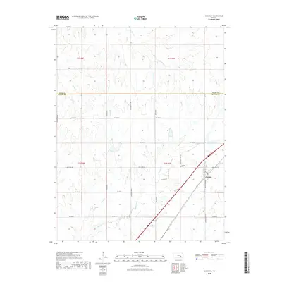
2022 Map of Cassoday
USGS Topo · Published 2022About this map
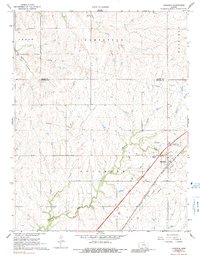
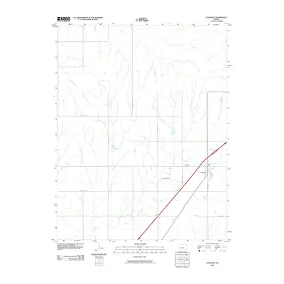
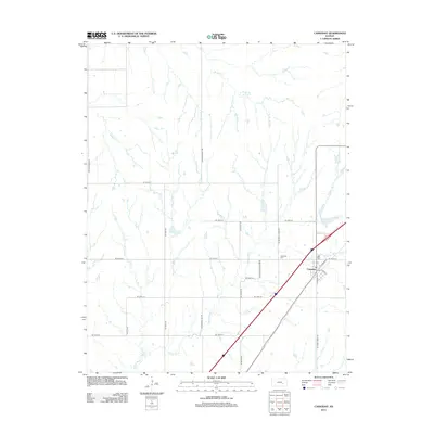
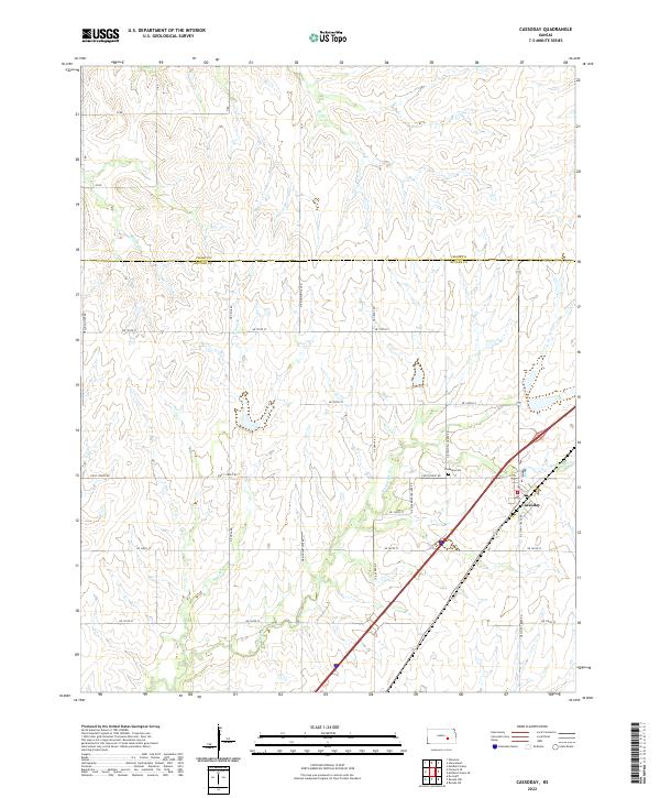
Cassoday serves as the central hub of this prairie landscape, situated near the headwaters of the Walnut River. This contemporary survey illustrates the town's position at the junction of Main St and NE Stony Creek RD, with the Cassoday Cem located just to the northwest. The surrounding terrain is defined by a series of drainage systems, including Middle Cr, Brush Cr, and School Br, which carve through the Flint Hills region. The boundary between Chase Co and Butler Co runs horizontally across the northern portion of the map, delineating the administrative shift in this ranching country. The local road network, including NE Munson Hill RD and NE Grant RD, follows the section lines of the Public Land Survey System, reflecting the organized settlement patterns of the Kansas plains.
Find a feature on this map
31 named features on this map. Tap any name to fly to it.
Don’t see what you’re looking for? This feature index may not catch every label — zoom into the map to look around manually.
Map Details
Editions of this 2022 Cassoday Map
This is the sole edition of this map. No revisions or reprints were ever made.
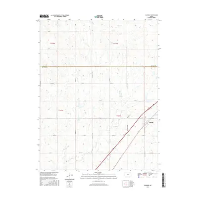
Historical Maps of Cassoday Through Time
6 maps found