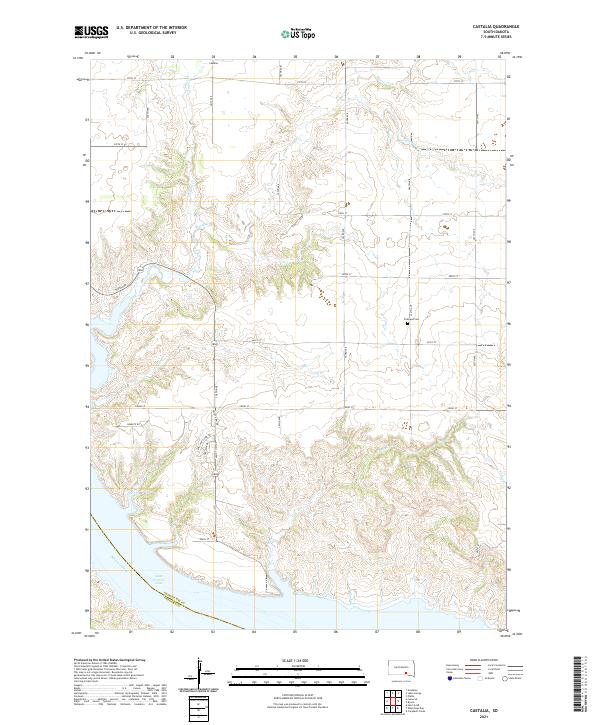
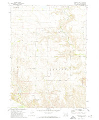
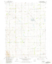
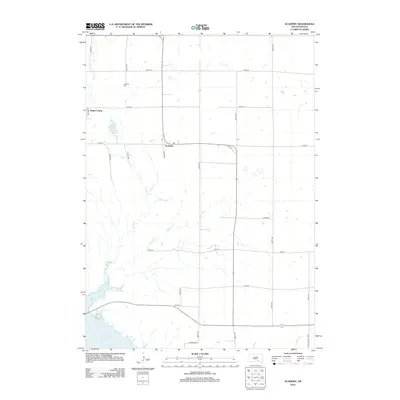
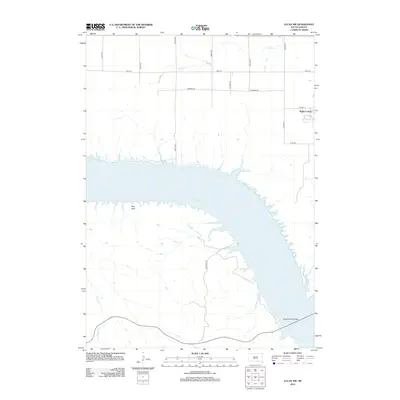
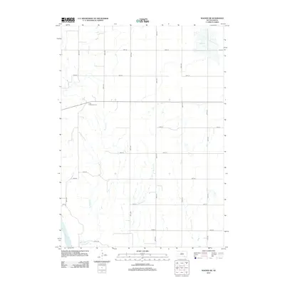
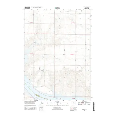
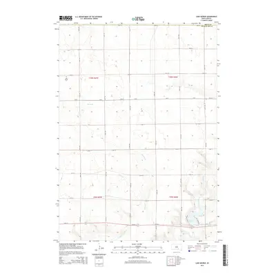
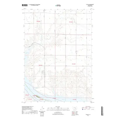
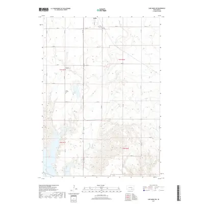
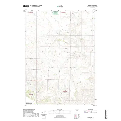
2021 Map of Castalia
USGS Topo · Published 2021About this map
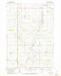
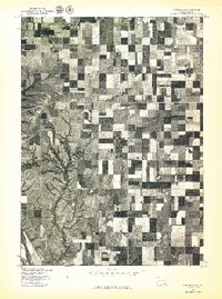
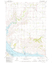
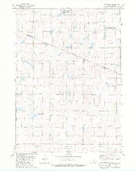
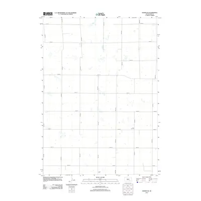
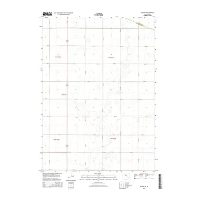
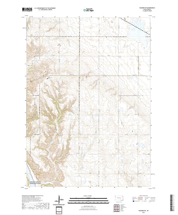
Castalia stands as the primary namesake settlement in this northern section of Charles Mix County, situated amidst a landscape carved by numerous drainage systems. The terrain is defined by the winding paths of Platte Cr, Castalia Cr, and Dry Cr, which flow toward the massive expanse of the Missouri River to the southwest. The presence of the Friesland Cem near the center of the quadrangle provides a specific point of interest for genealogists and local historians tracking early families in the region.
Find a feature on this map
28 named features on this map. Tap any name to fly to it.
Don’t see what you’re looking for? This feature index may not catch every label — zoom into the map to look around manually.
Map Details
Editions of this 2021 Castalia Map
This is the sole edition of this map. No revisions or reprints were ever made.
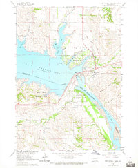
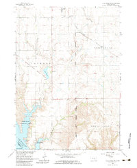
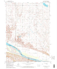
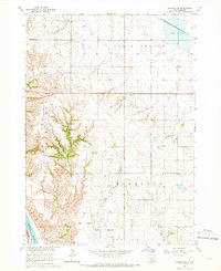
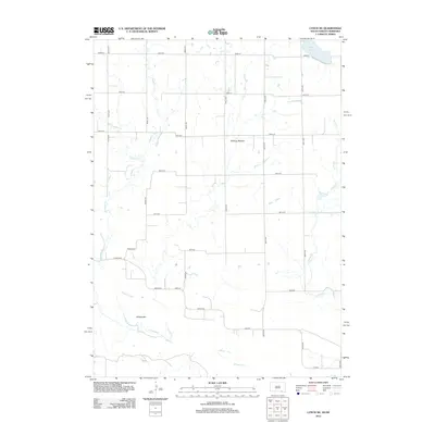
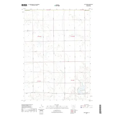
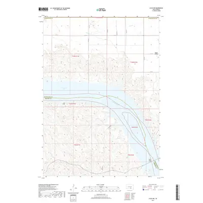
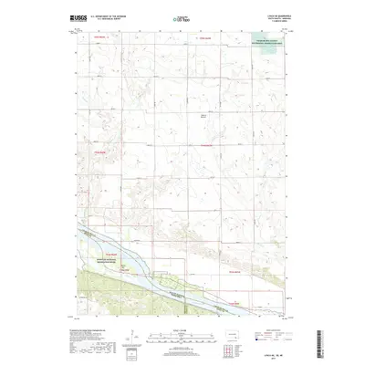
Historical Maps of Hamilton Township Through Time
69 maps found

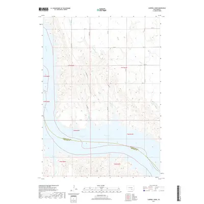
1964 Campbell Creek
Charles Mix County, SD
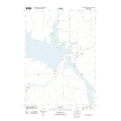
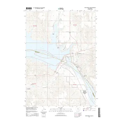
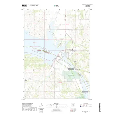
1964 Fort Randall Dam
Charles Mix County, SD
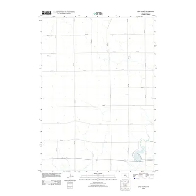
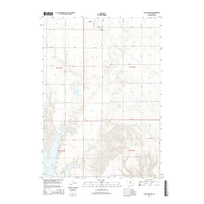
1964 Lake Andes NW
Charles Mix County, SD
1964 Lynch NE
Charles Mix County, SD
1964 Wagner NE
Charles Mix County, SD
1964 Wagner SW
Charles Mix County, SD
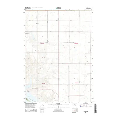
1971 Academy
Charles Mix County, SD
1971 Lucas NW
Charles Mix County, SD
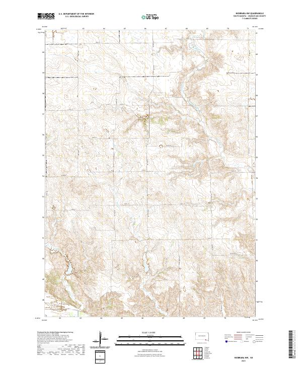
1972 Niobrara NW
Charles Mix County, SD
1977 Fort Randall Dam
Charles Mix County, SD
1977 Lake Andes NW
Charles Mix County, SD
1977 Wagner NE
Charles Mix County, SD
1977 Wagner SW
Charles Mix County, SD
1979 Bovee
Charles Mix County, SD
1979 Castalia
Charles Mix County, SD
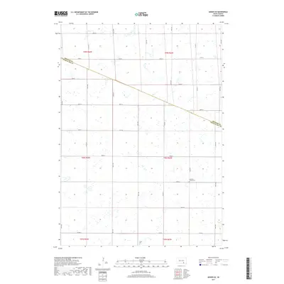
1979 Geddes SE
Charles Mix County, SD

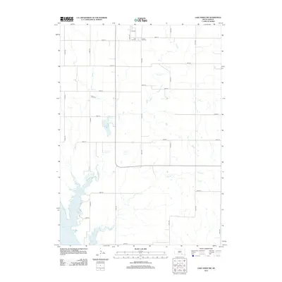
1979 Lake George
Charles Mix County, SD
2012 Academy
Charles Mix County, SD
2012 Bovee
Charles Mix County, SD
2012 Campbell Creek
Charles Mix County, SD
2012 Castalia
Charles Mix County, SD
2012 Fort Randall Dam
Charles Mix County, SD
2012 Geddes SE
Charles Mix County, SD
2012 Lake Andes NW
Charles Mix County, SD
2012 Lake George
Charles Mix County, SD
2012 Lucas NW
Charles Mix County, SD
2012 Lynch NE
Charles Mix County, SD
2012 Niobrara NW
Charles Mix County, SD
2012 Wagner NE
Charles Mix County, SD
2012 Wagner SW
Charles Mix County, SD
2015 Academy
Charles Mix County, SD
2015 Bovee
Charles Mix County, SD
2015 Campbell Creek
Charles Mix County, SD
2015 Castalia
Charles Mix County, SD
2015 Fort Randall Dam
Charles Mix County, SD
2015 Geddes SE
Charles Mix County, SD
2015 Lake Andes NW
Charles Mix County, SD
2015 Lake George
Charles Mix County, SD
2015 Lucas NW
Charles Mix County, SD
2015 Lynch NE
Charles Mix County, SD
2015 Niobrara NW
Charles Mix County, SD
2015 Wagner NE
Charles Mix County, SD
2015 Wagner SW
Charles Mix County, SD
2017 Academy
Charles Mix County, SD
2017 Bovee
Charles Mix County, SD
2017 Campbell Creek
Charles Mix County, SD
2017 Castalia
Charles Mix County, SD
2017 Fort Randall Dam
Charles Mix County, SD
2017 Geddes SE
Charles Mix County, SD
2017 Lake Andes NW
Charles Mix County, SD
2017 Lake George
Charles Mix County, SD
2017 Lucas NW
Charles Mix County, SD
2017 Lynch NE
Charles Mix County, SD
2017 Niobrara NW
Charles Mix County, SD
2017 Wagner NE
Charles Mix County, SD
2017 Wagner SW
Charles Mix County, SD
2021 Academy
Charles Mix County, SD
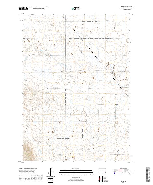
2021 Bovee
Charles Mix County, SD
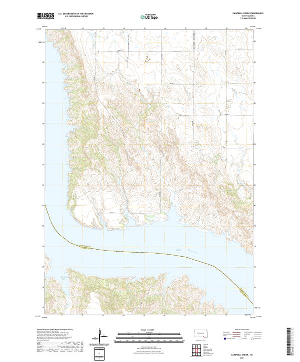
2021 Campbell Creek
Charles Mix County, SD
2021 Castalia
Charles Mix County, SD
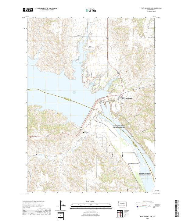
2021 Fort Randall Dam
Charles Mix County, SD
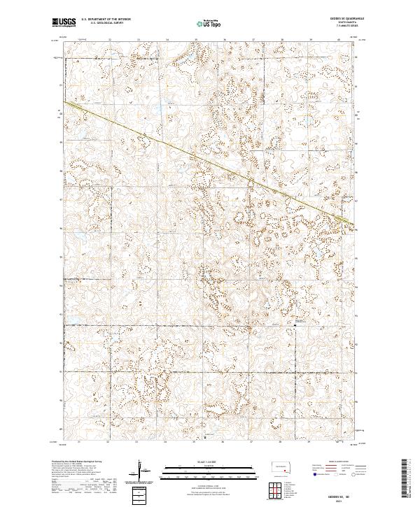
2021 Geddes SE
Charles Mix County, SD
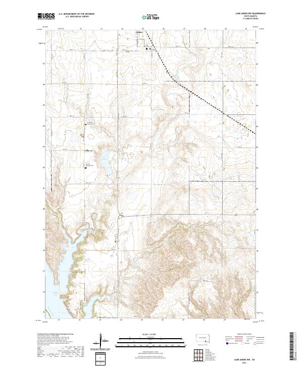
2021 Lake Andes NW
Charles Mix County, SD
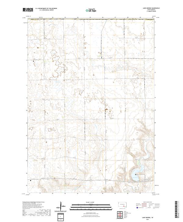
2021 Lake George
Charles Mix County, SD
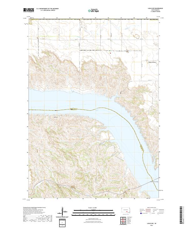
2021 Lucas NW
Charles Mix County, SD
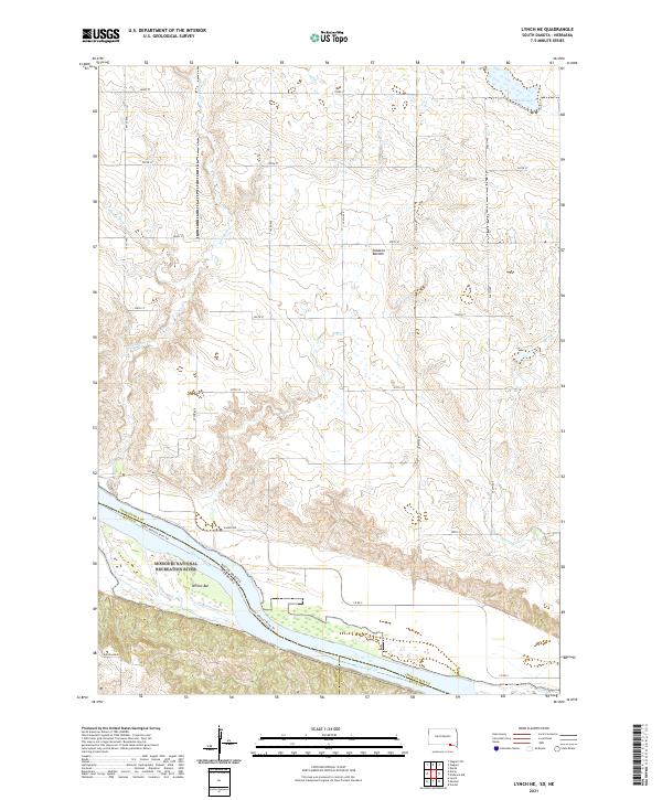
2021 Lynch NE
Charles Mix County, SD
2021 Niobrara NW
Charles Mix County, SD
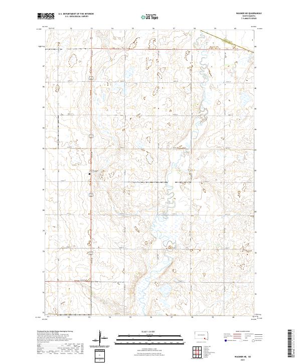
2021 Wagner NE
Charles Mix County, SD
2021 Wagner SW
Charles Mix County, SD
Featured Locations
- Charles Mix County, SD
- Hamilton Township, SD
- Castalia Township, SD
- Platte Township, SD
- Signal Township, SD