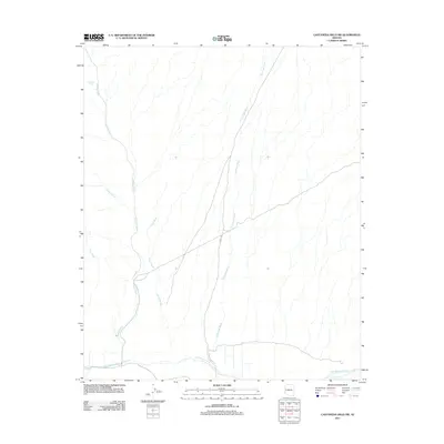
2011 Map of Castaneda Hills SW
USGS Topo · Published 2011About this map
The Bill Williams River defines the southern boundary of this arid Mohave County landscape, providing a critical riparian corridor through a region of complex drainage systems. Multiple ephemeral washes, including the prominent Mohave Wash, Yucca Wash, and Castaneda Wash, carve northward through the terrain, illustrating the intricate hydrology of the Sonoran desert during seasonal runoff. Man-made infrastructure is sparse, centered on transit routes like Co Hwy 133 and the Planet Ranch Rd, which provides access to the river's edge. Water security in this environment is evidenced by features like Twentysix Tank, a small but significant landmark for local land use. This map serves as a detailed record of the geography surrounding the lower Bill Williams drainage prior to contemporary shifts in regional land management.
Find a feature on this map
9 named features on this map. Tap any name to fly to it.
Don’t see what you’re looking for? This feature index may not catch every label — zoom into the map to look around manually.
Map Details
Editions of this 2011 Castaneda Hills SW Map
This is the sole edition of this map. No revisions or reprints were ever made.
Other maps of this area

1911 · Parker
USGS Topo · 1:125,000

1923 · Signal
USGS Topo · 1:250,000

1942 · Signal
USGS Topo · 1:250,000

1943 · Giers Basin
USGS Topo · 1:62,500

1950 · Prescott
USGS Topo · 1:250,000

1954 · Needles
USGS Topo · 1:250,000

1954 · Prescott
USGS Topo · 1:250,000

1956 · Needles
USGS Topo · 1:250,000

1958 · Prescott
USGS Topo · 1:250,000

1959 · Prescott
USGS Topo · 1:250,000