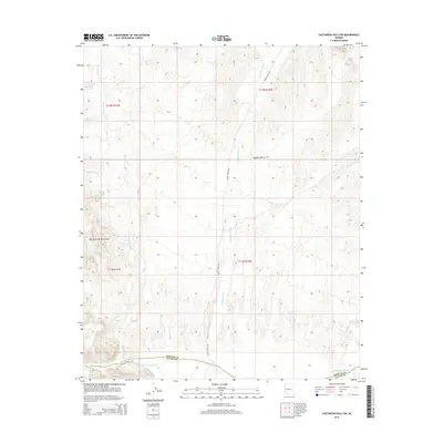
2014 Map of Castaneda Hills SW
USGS Topo · Published 2014About this map
The Bill Williams River defines the southern reach of this landscape at the border of Mohave and La Paz counties. Flowing through the arid Mojave Desert, the river is fed by a complex drainage network including Mohave Wash, Yucca Wash, and Castaneda Wash, which carve through the high elevations of the Bill Williams Mountains. This 2014 survey documents a largely unpopulated desert corridor where water access is marked by solitary features like Twentysix Tank. Transportation in this remote area is limited to the winding path of Planet Ranch Rd, which follows the contours of the terrain toward the river. The map provides a detailed look at the township and range system, showing the surveyed sections within T12N R17W and T11N R16W that organize this open Arizona backcountry.
Find a feature on this map
15 named features on this map. Tap any name to fly to it.
Don’t see what you’re looking for? This feature index may not catch every label — zoom into the map to look around manually.
Map Details
Editions of this 2014 Castaneda Hills SW Map
This is the sole edition of this map. No revisions or reprints were ever made.
Other maps of this area

1911 · Parker
USGS Topo · 1:125,000

1923 · Signal
USGS Topo · 1:250,000

1942 · Signal
USGS Topo · 1:250,000

1943 · Giers Basin
USGS Topo · 1:62,500

1950 · Prescott
USGS Topo · 1:250,000

1954 · Needles
USGS Topo · 1:250,000

1954 · Prescott
USGS Topo · 1:250,000

1956 · Needles
USGS Topo · 1:250,000

1958 · Prescott
USGS Topo · 1:250,000

1959 · Prescott
USGS Topo · 1:250,000