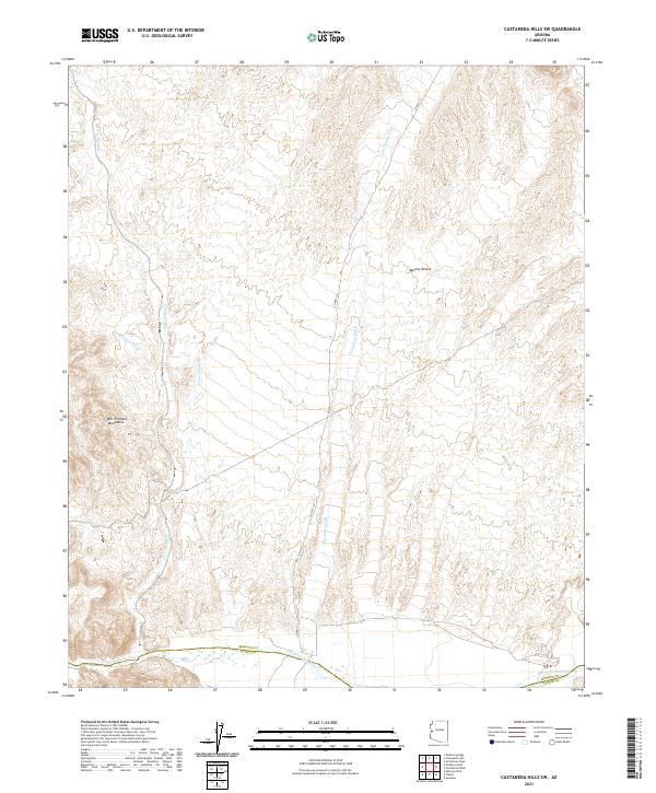
2021 Map of Castaneda Hills SW
USGS Topo · Published 2021About this map
Bill Williams River defines the southern boundary of this arid landscape, marking the transition between Mohave and La Paz counties. The terrain is characterized by a series of significant drainage systems, including Mohave Wash, Castaneda Wash, and Yucca Wash, which carve through the Mojave Desert toward the river valley below. These ephemeral waterways indicate a complex hydrologic network that dictates the movement through this desert environment.
Find a feature on this map
14 named features on this map. Tap any name to fly to it.
Don’t see what you’re looking for? This feature index may not catch every label — zoom into the map to look around manually.
Map Details
Editions of this 2021 Castaneda Hills SW Map
This is the sole edition of this map. No revisions or reprints were ever made.
Other maps of this area

1911 · Parker
USGS Topo · 1:125,000

1923 · Signal
USGS Topo · 1:250,000

1942 · Signal
USGS Topo · 1:250,000

1943 · Giers Basin
USGS Topo · 1:62,500

1950 · Prescott
USGS Topo · 1:250,000

1954 · Needles
USGS Topo · 1:250,000

1954 · Prescott
USGS Topo · 1:250,000

1956 · Needles
USGS Topo · 1:250,000

1958 · Prescott
USGS Topo · 1:250,000

1959 · Prescott
USGS Topo · 1:250,000