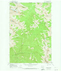
1969 Map of Castile Falls
USGS Topo · Published 1973About this map
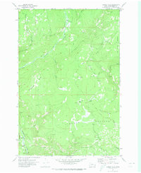
The Pacific Crest National Scenic Trail winds through this high-altitude landscape along the border of Mt Baker National Forest and Okanogan National Forest. This 1969 field-checked survey reveals the complex drainages of the Pasayten Wilderness, where the International Boundary between the United States and Canada is defined by the high ridges and deep valleys of the Cascades. Notable landmarks like the Devils Stairway and Mountain Home Camp indicate the established backcountry routes used by hikers and foresters during this era.
Find a feature on this map
42 named features on this map. Tap any name to fly to it.
Don’t see what you’re looking for? This feature index may not catch every label — zoom into the map to look around manually.
Map Details
Editions of this 1969 Castile Falls Map
This is the sole edition of this map. No revisions or reprints were ever made.
Other maps of this area

1904 · Mount Adams
USGS Topo · 1:125,000

1907 · Mount Adams
USGS Topo · 1:125,000

1950 · Yakima
USGS Topo · 1:250,000

1958 · Yakima
USGS Topo · 1:250,000

1961 · Yakima
USGS Topo · 1:250,000
1970 · Lost Horse Plateau
USGS Topo · 1:24,000
1970 · Fairview Ridge
USGS Topo · 1:24,000
1970 · Signal Peak
USGS Topo · 1:24,000
1970 · Castile Falls
USGS Topo · 1:24,000
1970 · Poland Butte
USGS Topo · 1:24,000