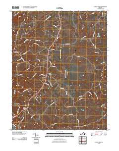
2010 Map of Castle Craig
USGS Topo · Published 2010About this map
The Big Otter River and Roanoke River define the southern landscape of this Virginia survey, where rural settlements like Kingston and Castle Craig are connected by a network of family-named roads and historic mill traces. The terrain is deeply carved by an extensive drainage system, including Troublesome Creek, Seneca Creek, and Rough Creek, which influenced the placement of early infrastructure. The map documents significant local landmarks such as Altavista Memorial Park and provides a detailed look at the rural transition near the Campbell and Pittsylvania county borders. Geographic indicators of local history are found in labels like Peerman School Rd and Masons Mill Rd, suggesting the historical locations of community anchors like rural schools and water-powered mills that once served this agricultural region.
Find a feature on this map
46 named features on this map. Tap any name to fly to it.
Don’t see what you’re looking for? This feature index may not catch every label — zoom into the map to look around manually.
Map Details
Editions of this 2010 Castle Craig Map
This is the sole edition of this map. No revisions or reprints were ever made.
Other maps of this area

1892 · Lynchburg
USGS Topo · 1:125,000

1944 · Lynchburg
USGS Topo · 1:62,500

1947 · Roanoke
USGS Topo · 1:250,000

1950 · Goode
USGS Topo · 1:62,500

1950 · Lynchburg
USGS Topo · 1:62,500

1951 · Altavista
USGS Topo · 1:62,500

1956 · Gladys
USGS Topo · 1:62,500

1959 · Roanoke
USGS Topo · 1:250,000

1963 · Roanoke
USGS Topo · 1:250,000

1963 · City Farm
USGS Topo · 1:24,000