
1963 Map of City Farm
USGS Topo · Published 1965About this map
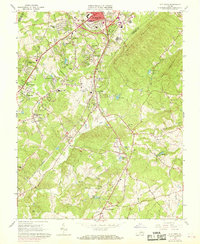
Lynchburg and its southern suburbs define the landscape of this early 1960s survey, where the expanding city meets the rural farmsteads of Campbell County. The suburban character of Vista Acres and Southland Acres transitions into the industrial and transportation corridors of the Norfolk and Western and Southern railroads. Central to the quadrangle is the Preston Glenn Airport, surrounded by a mix of emerging residential developments like Richland Hills and longstanding community landmarks such as Brush Tavern and the City Farm.
Find a feature on this map
64 named features on this map. Tap any name to fly to it.
Don’t see what you’re looking for? This feature index may not catch every label — zoom into the map to look around manually.
Map Details
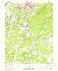
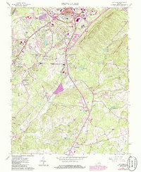
Editions of this 1963 City Farm Map
4 editions found
Other maps of this area

1892 · Lynchburg
USGS Topo · 1:125,000

1944 · Lynchburg
USGS Topo · 1:62,500

1947 · Roanoke
USGS Topo · 1:250,000

1950 · Goode
USGS Topo · 1:62,500

1950 · Lynchburg
USGS Topo · 1:62,500

1951 · Altavista
USGS Topo · 1:62,500

1956 · Gladys
USGS Topo · 1:62,500

1959 · Roanoke
USGS Topo · 1:250,000

1963 · Roanoke
USGS Topo · 1:250,000
1963 · Kelly
USGS Topo · 1:24,000