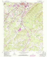
1963 Map of City Farm
USGS Topo · Published 1986About this map
Candler Mountain and Jack Mountain dominate the eastern topography of this Campbell County survey, while the western landscape reveals a maturing mid-century suburban corridor south of Lynchburg. The expansive grounds of Lynchburg Municipal Airport Preston Glenn Field and the adjacent City Farm serve as central landmarks, anchoring a region undergoing significant institutional growth. Educational footprints are clearly visible at Liberty University and Central Virginia Community Col, alongside community fixtures like the Marsh Memorial Sch and the Drive-in Theater near Happyland Lake.
Find a feature on this map
56 named features on this map. Tap any name to fly to it.
Don’t see what you’re looking for? This feature index may not catch every label — zoom into the map to look around manually.
Map Details
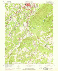
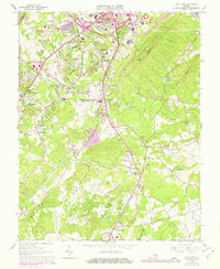
Editions of this 1963 City Farm Map
4 editions found

Other maps of this area

1892 · Lynchburg
USGS Topo · 1:125,000

1944 · Lynchburg
USGS Topo · 1:62,500

1947 · Roanoke
USGS Topo · 1:250,000

1950 · Goode
USGS Topo · 1:62,500

1950 · Lynchburg
USGS Topo · 1:62,500

1951 · Altavista
USGS Topo · 1:62,500

1956 · Gladys
USGS Topo · 1:62,500

1959 · Roanoke
USGS Topo · 1:250,000

1963 · Roanoke
USGS Topo · 1:250,000
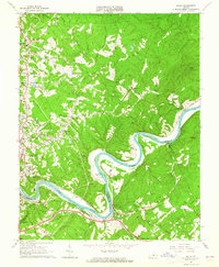
1963 · Kelly
USGS Topo · 1:24,000