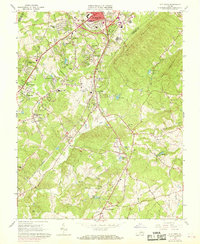
1963 Map of City Farm
USGS Topo · Published 1969About this map
Candlers Mountain and Jack Mountain dominate the eastern landscape of Campbell County, looking down on the burgeoning suburban fringes south of Lynchburg. This mid-century survey captures a period of significant growth, where traditional rural landmarks like Brush Tavern and the Lawyers settlement are joined by modern infrastructure such as Preston Glenn Airport and the Fort Hill Village Shopping Center. The map reveals a transition from agriculture to residential development, with numerous named subdivisions like Richland Hills, Vista Acres, and Southland Acres filling in the space between historical creek drainage systems.
Find a feature on this map
61 named features on this map. Tap any name to fly to it.
Don’t see what you’re looking for? This feature index may not catch every label — zoom into the map to look around manually.
Map Details
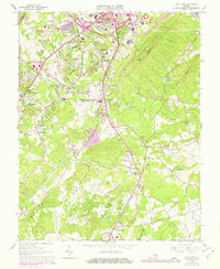
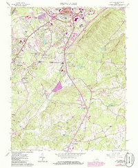
Editions of this 1963 City Farm Map
4 editions found

Other maps of this area

1892 · Lynchburg
USGS Topo · 1:125,000

1944 · Lynchburg
USGS Topo · 1:62,500

1947 · Roanoke
USGS Topo · 1:250,000

1950 · Goode
USGS Topo · 1:62,500

1950 · Lynchburg
USGS Topo · 1:62,500

1951 · Altavista
USGS Topo · 1:62,500

1956 · Gladys
USGS Topo · 1:62,500

1959 · Roanoke
USGS Topo · 1:250,000

1963 · Roanoke
USGS Topo · 1:250,000
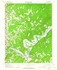
1963 · Kelly
USGS Topo · 1:24,000