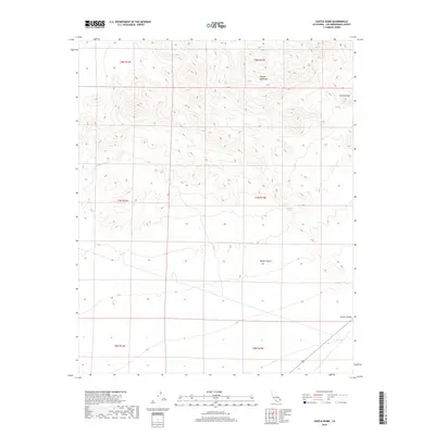
2018 Map of Castle Dome
USGS Topo · Published 2018About this map
Castle Dome rises as a prominent landmark within the northern reaches of this survey, overlooking a desert landscape defined by ephemeral drainages and arid basins. The Clipper Mountains dominate the upper terrain, where narrow canyons give way to the broad alluvial expanses of Clipper Wash and the wider Fenner Valley to the southeast. Water remains the critical factor for historical transit through this portion of the Mojave Desert, evidenced by the presence of Bonanza Spring, a vital reliable point in an otherwise dry environment. The 2018 mapping reveals a largely undeveloped wilderness, preserving the same topography encountered by early desert travelers and surveyors who established the township and range lines across these vast basins.
Find a feature on this map
12 named features on this map. Tap any name to fly to it.
Don’t see what you’re looking for? This feature index may not catch every label — zoom into the map to look around manually.
Map Details
Editions of this 2018 Castle Dome Map
This is the sole edition of this map. No revisions or reprints were ever made.
Other maps of this area

1942 · Amboy
USGS Topo · 1:250,000

1943 · Amboy
USGS Topo · 1:250,000

1943 · Danby
USGS Topo · 1:62,500

1954 · Needles
USGS Topo · 1:250,000

1956 · Needles
USGS Topo · 1:250,000

1956 · Colton Well
USGS Topo · 1:62,500

1956 · Cadiz
USGS Topo · 1:62,500

1956 · Danby
USGS Topo · 1:62,500

1956 · Flynn
USGS Topo · 1:62,500

1981 · Needles
USGS Topo · 1:250,000