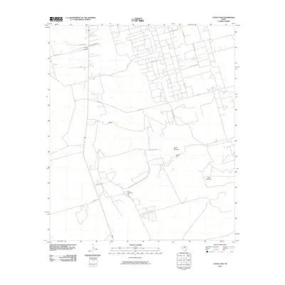
2010 Map of Castle Gap
USGS Topo · Published 2010About this map
The Crane Cowden Oil Field dominates this corner of the Permian Basin, where a dense network of industrial access roads like Chevron Ave R and Chevron Avenue O crisscross the West Texas scrub. This infrastructure highlights the intensive resource extraction that has long shaped the local economy and land use. Away from the pumpjacks, the terrain rises into the prominent mesas of Castle Mountain and King Mountain. Between these peaks lies the historic Castle Gap, a natural break in the caprock that served as a vital passage for early western travelers and cattle drives. Nearby, the small settlement of Hilltop and the County South Cemetery provide markers of community life and genealogy, while family-named routes such as Fowler Ranch Rd and Ma Earp Rd anchor the landscape to its ranching heritage.
Find a feature on this map
25 named features on this map. Tap any name to fly to it.
Don’t see what you’re looking for? This feature index may not catch every label — zoom into the map to look around manually.
Map Details
Editions of this 2010 Castle Gap Map
This is the sole edition of this map. No revisions or reprints were ever made.
Other maps of this area

1928 · Crane
USGS Topo · 1:125,000

1954 · Pecos
USGS Topo · 1:250,000

1957 · Pecos
USGS Topo · 1:250,000

1971 · McElroy Ranch
USGS Topo · 1:24,000

1971 · Marlboro Canyon
USGS Topo · 1:24,000

1972 · Girvin NE
USGS Topo · 1:24,000
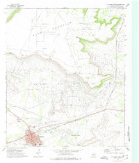
1972 · McCamey North
USGS Topo · 1:24,000
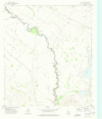
1972 · Girvin NW
USGS Topo · 1:24,000

1974 · Crane SW
USGS Topo · 1:24,000
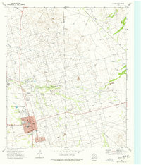
1974 · Crane
USGS Topo · 1:24,000