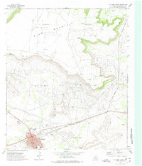
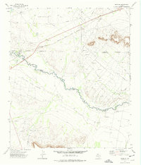
1972 Map of McCamey North
USGS Topo · Published 1974About this map
The industrial footprint of the Permian Basin is clearly etched across this landscape, dominated by the extensive Mc Camey Oil Field and the massive storage capacity of the Mesa Tank Farm. The town of McCamey serves as the central hub, situated along the tracks of the Atchison Topeka and Santa Fe railroad. This 1970s survey captures a community built around energy production, where the grid of the town meets the complex network of the Shirk Oil Field and Fradean Oil Field to the north.
Find a feature on this map
25 named features on this map. Tap any name to fly to it.
Don’t see what you’re looking for? This feature index may not catch every label — zoom into the map to look around manually.
Map Details
Editions of this 1972 McCamey North Map
This is the sole edition of this map. No revisions or reprints were ever made.
Other maps of this area

1928 · Crane
USGS Topo · 1:125,000

1954 · Pecos
USGS Topo · 1:250,000

1957 · Pecos
USGS Topo · 1:250,000
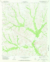
1971 · Marlboro Canyon SE
USGS Topo · 1:24,000

1971 · Marlboro Canyon
USGS Topo · 1:24,000

1972 · Girvin NE
USGS Topo · 1:24,000
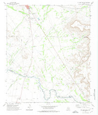
1972 · McCamey South
USGS Topo · 1:24,000
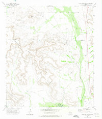
1972 · Table Top Mountain
USGS Topo · 1:24,000
1972 · Girvin SE
USGS Topo · 1:24,000
1972 · Square Top Mountain
USGS Topo · 1:24,000