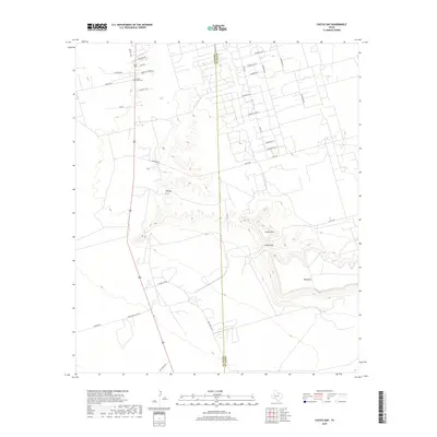
2019 Map of Castle Gap
USGS Topo · Published 2019About this map
Castle Gap serves as the central geological landmark on this landscape, marking a prominent break between the rising elevations of Castle Mtn and King Mtn. The terrain is defined by the sharp escarpments of the Edwards Plateau, where the flat mesas give way to canyon-cut slopes. A dense network of industrial and rural roads, such as Chevron Ave R and Chevron Rd 8, signals the significant petroleum activity typical of the Permian Basin.
Find a feature on this map
34 named features on this map. Tap any name to fly to it.
Don’t see what you’re looking for? This feature index may not catch every label — zoom into the map to look around manually.
Map Details
Editions of this 2019 Castle Gap Map
This is the sole edition of this map. No revisions or reprints were ever made.
Other maps of this area

1928 · Crane
USGS Topo · 1:125,000

1954 · Pecos
USGS Topo · 1:250,000

1957 · Pecos
USGS Topo · 1:250,000

1971 · McElroy Ranch
USGS Topo · 1:24,000

1971 · Marlboro Canyon
USGS Topo · 1:24,000

1972 · Girvin NE
USGS Topo · 1:24,000
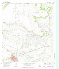
1972 · McCamey North
USGS Topo · 1:24,000
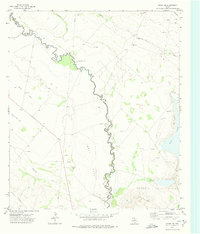
1972 · Girvin NW
USGS Topo · 1:24,000

1974 · Crane SW
USGS Topo · 1:24,000
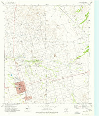
1974 · Crane
USGS Topo · 1:24,000