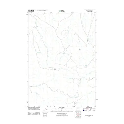
2012 Map of Castle Gardens
USGS Topo · Published 2012About this map
The Honeycombs and Wild Horse Butte define the high desert topography of this Washakie County landscape. In this 2012 survey, the drainage systems of Big Cottonwood Cr and Little Cottonwood Cr are marked by a series of remote water management features, including Witness Corner Reservoir, Green Bug Reservoir, and Circle Reservoir. These reservoirs, often located at the heads of draws like Hubble Draw, reflect the vital necessity of water catchment in this arid grazing land.
Find a feature on this map
26 named features on this map. Tap any name to fly to it.
Don’t see what you’re looking for? This feature index may not catch every label — zoom into the map to look around manually.
Map Details
Editions of this 2012 Castle Gardens Map
This is the sole edition of this map. No revisions or reprints were ever made.
Other maps of this area

1899 · Cloud peak
USGS Topo · 1:125,000

1901 · Cloud Peak
USGS Topo · 1:125,000

1955 · Sheridan
USGS Topo · 1:250,000

1955 · Arminto
USGS Topo · 1:250,000

1958 · Sheridan
USGS Topo · 1:250,000

1958 · Arminto
USGS Topo · 1:250,000

1962 · Sheridan
USGS Topo · 1:250,000

1962 · Arminto
USGS Topo · 1:250,000

1966 · Deadline Draw
USGS Topo · 1:24,000

1966 · Indian Creek
USGS Topo · 1:24,000