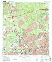
1992 Map of Castle Hills
USGS Topo · Published 1993About this map
San Antonio expands into the limestone hills of northern Bexar County on this early 1990s record of rapid suburbanization. The landscape is defined by a series of north-south drainage corridors including Leon Creek, Salado Creek, and Olmos Creek, where residential developments like Oakland Estates and Shavano Park are woven between active and former Quarry operations. Educational institutions anchor the growing neighborhoods, ranging from the sprawling University of Texas at San Antonio campus in the northwest to established local landmarks like Locke Hill Sch.
Find a feature on this map
68 named features on this map. Tap any name to fly to it.
Don’t see what you’re looking for? This feature index may not catch every label — zoom into the map to look around manually.
Map Details
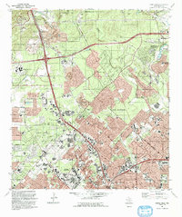
Editions of this 1992 Castle Hills Map
2 editions found
Other maps of this area

1953 · Otis Ridge
USGS Topo · 1:24,000

1953 · Culebra Hill
USGS Topo · 1:24,000

1953 · San Antonio West
USGS Topo · 1:24,000

1953 · Bulverde
USGS Topo · 1:24,000

1953 · San Antonio East
USGS Topo · 1:24,000

1953 · Longhorn
USGS Topo · 1:24,000

1953 · Helotes
USGS Topo · 1:24,000

1953 · Castle Hills
USGS Topo · 1:24,000

1953 · Van Raub
USGS Topo · 1:24,000

1954 · San Antonio
USGS Topo · 1:250,000