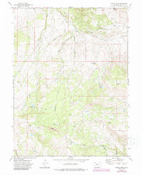
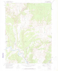
1972 Map of Castle Peak
USGS Topo · Published 1988About this map
Castle Peak and the surrounding high country of Eagle County dominate this 1970s topographic study, revealing a landscape defined by sharp ridges and high-altitude water sources. The terrain is marked by prominent natural boundaries such as Winter Ridge and Catamount Ridge, with drainage systems like Big Alkali Creek and Milk Creek carving through the slopes. Localized features like Schlegel Lake and Picture Lake suggest the isolated, high-elevation hydrology of the area.
Find a feature on this map
26 named features on this map. Tap any name to fly to it.
Don’t see what you’re looking for? This feature index may not catch every label — zoom into the map to look around manually.
Map Details
Editions of this 1972 Castle Peak Map
4 editions found
Other maps of this area

1957 · Leadville
USGS Topo · 1:250,000

1959 · Leadville
USGS Topo · 1:250,000

1960 · Leadville
USGS Topo · 1:250,000

1962 · Leadville
USGS Topo · 1:250,000

1962 · Gypsum
USGS Topo · 1:24,000

1962 · Wolcott
USGS Topo · 1:24,000

1962 · Eagle
USGS Topo · 1:24,000

1964 · Leadville
USGS Topo · 1:250,000
1972 · Mc Coy
USGS Topo · 1:24,000

1972 · Blue Hill
USGS Topo · 1:24,000