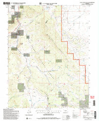
1994 Map of Castle Rock Gulch
USGS Topo · Published 1998About this map
San Isabel National Forest lands dominate this high-altitude landscape along the border of Chaffee and Park counties. The terrain is defined by the massive spine of Kaufman Ridge and the dramatic geologic formations of The Castles. Evidence of historical resource extraction is scattered across the quadrangle, from the Newett Quarries and Trout Creek View No 2 Mine in the north to the Black Dumps and various prospects near Cals Fork Gulch.
Find a feature on this map
34 named features on this map. Tap any name to fly to it.
Don’t see what you’re looking for? This feature index may not catch every label — zoom into the map to look around manually.
Map Details
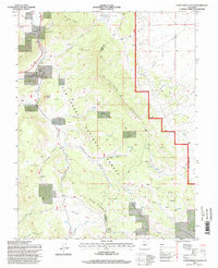
Editions of this 1994 Castle Rock Gulch Map
2 editions found
Other maps of this area

1954 · Pueblo
USGS Topo · 1:250,000

1955 · Buena Vista
USGS Topo · 1:62,500

1956 · Antero Reservoir
USGS Topo · 1:24,000

1956 · Antero Reservoir NE
USGS Topo · 1:24,000

1956 · Cameron Mountain
USGS Topo · 1:62,500

1956 · Poncha Springs
USGS Topo · 1:62,500

1956 · Montrose
USGS Topo · 1:250,000

1957 · Pueblo
USGS Topo · 1:250,000

1958 · Pueblo
USGS Topo · 1:250,000

1959 · Montrose
USGS Topo · 1:250,000