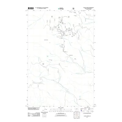
2011 Map of Castle Town
USGS Topo · Published 2011About this map
Robinson and Castle Town serve as the primary focal points of this mining-intensive landscape in Meagher County. The terrain is densely packed with historical extraction sites, particularly between Yankee Jim Ridge and Stonehorse Ridge. These mines, including the Lamar Mine, California Mine, and Hamilton Mine, suggest a period of significant geological interest and industrial effort. The proximity of the Castle Cemetery to these settlements provides a poignant connection to the early residents who worked these claims.
Find a feature on this map
64 named features on this map. Tap any name to fly to it.
Don’t see what you’re looking for? This feature index may not catch every label — zoom into the map to look around manually.
Map Details
Editions of this 2011 Castle Town Map
This is the sole edition of this map. No revisions or reprints were ever made.
Other maps of this area
1886 · Little Belt Mts.
USGS Topo · 1:250,000
1894 · Little Belt Mts.
USGS Topo · 1:250,000
1897 · Little Belt Mts.
USGS Topo · 1:250,000
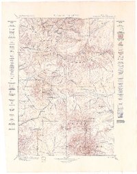
1898 · Little Belt Mts.
USGS Topo · 1:250,000
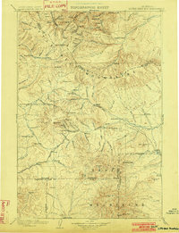
1902 · Little Belt Mts.
USGS Topo · 1:250,000
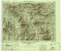
1948 · White Sulphur Springs
USGS Topo · 1:250,000
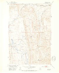
1951 · Hamen
USGS Topo · 1:24,000
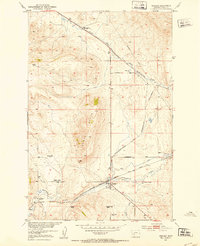
1951 · Ringling
USGS Topo · 1:24,000
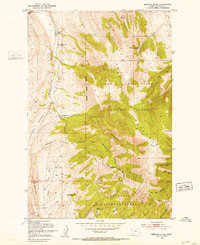
1951 · Rimrock Divide
USGS Topo · 1:24,000
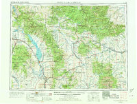
1958 · White Sulphur Springs
USGS Topo · 1:250,000