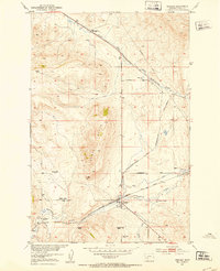
1951 Map of Ringling
USGS Topo · Published 1953About this map
The railroad hub at Ringling serves as the focal point of this mid-century survey of Meagher County, where the Chicago Milwaukee St Paul and Pacific tracks follow the winding course of Sixteenmile Creek. This intersection of transportation and terrain is further marked by the remnants of the W.S.S. & Y.P. line and the White Sulphur Springs and Yellowstone Park Road.
Find a feature on this map
23 named features on this map. Tap any name to fly to it.
Don’t see what you’re looking for? This feature index may not catch every label — zoom into the map to look around manually.
Map Details
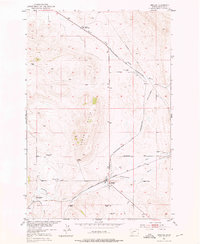
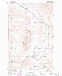
Editions of this 1951 Ringling Map
3 editions found
Other maps of this area

1886 · Little Belt Mts.
USGS Topo · 1:250,000

1894 · Little Belt Mts.
USGS Topo · 1:250,000

1897 · Little Belt Mts.
USGS Topo · 1:250,000

1898 · Little Belt Mts.
USGS Topo · 1:250,000

1902 · Little Belt Mts.
USGS Topo · 1:250,000

1948 · White Sulphur Springs
USGS Topo · 1:250,000

1948 · Sixteen
USGS Topo · 1:24,000

1951 · Sixteen NE
USGS Topo · 1:24,000

1951 · Hamen
USGS Topo · 1:24,000
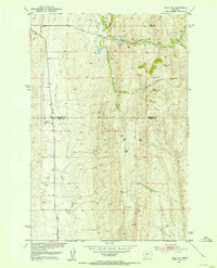
1951 · Wolf Hill
USGS Topo · 1:24,000